> From the WeatherWatch archives
The latest computer models are now showing rain setting in, in northern and western parts of the North Island either tomorrow evening or overnight Sunday/Monday with the heaviest falls likely to be 24 hours later on Monday afternoon and overnight Monday.
Cloudy conditions with patchy light rain, drizzle or showers are expected off and on during Sunday for these regions. Elsewhere it should remain mostly dry but clouds and winds building.
We’ll have regular updates throughout Sunday as this nasty spring storm moves closer. MetService are also closely monitoring the situation and are highly confident that rain and possibly severe gale warnings will be issued for northern, central and western parts of New Zealand.
3pm update
Monday is looking like D-Day for the Tasman Sea storm that’s continuing to grow in size today.
The start of the working week will be wet, windy and warm for the majority of northern and western regions with an onslaught of sub-tropical rains and strong to gale force northerlies.
The winds are being made worse by the high pressure system (that yesterday gave us all that settled, sunny, weather) strengthening to the east of New Zealand and increasing that pressure gradient between the low and the high – and NZ is smack bang in the middle.
As I said this morning, I didn’t feel that the weather maps matched the forecasts earlier today. I note that this afternoon government forecaster MetService has slightly changed it’s forecast – now expecting the heavier rain to arrive well into Sunday – possibly overnight Sunday and into Monday for places like Northland, Auckland etc and not earlier in the day as previously expected.
The system, while large, is very slow moving – and that makes pin pointing the time of arrival much harder. If the high stays put, or strengthens further that arrival time might not be until Monday…if the high weakens or shifts further out into the Pacific, that heavy rain may arrive earlier. We’ll keep you up to date throughout Sunday.
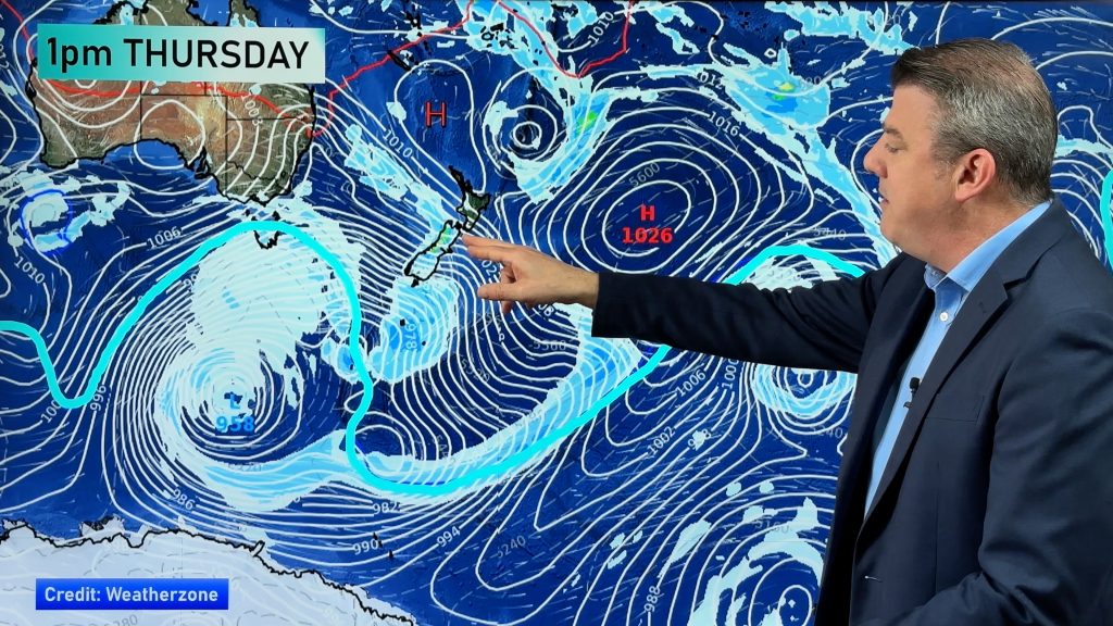
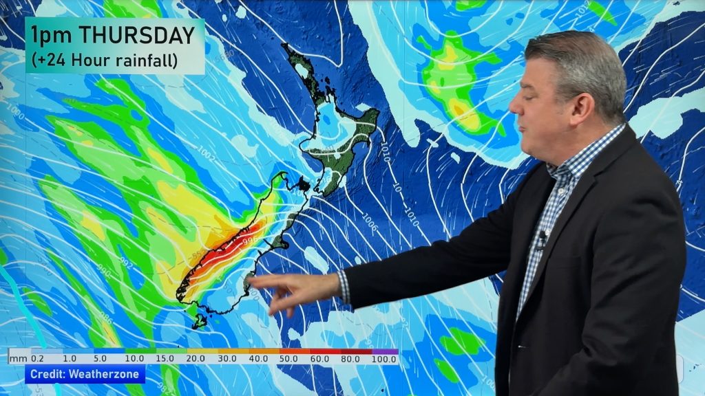
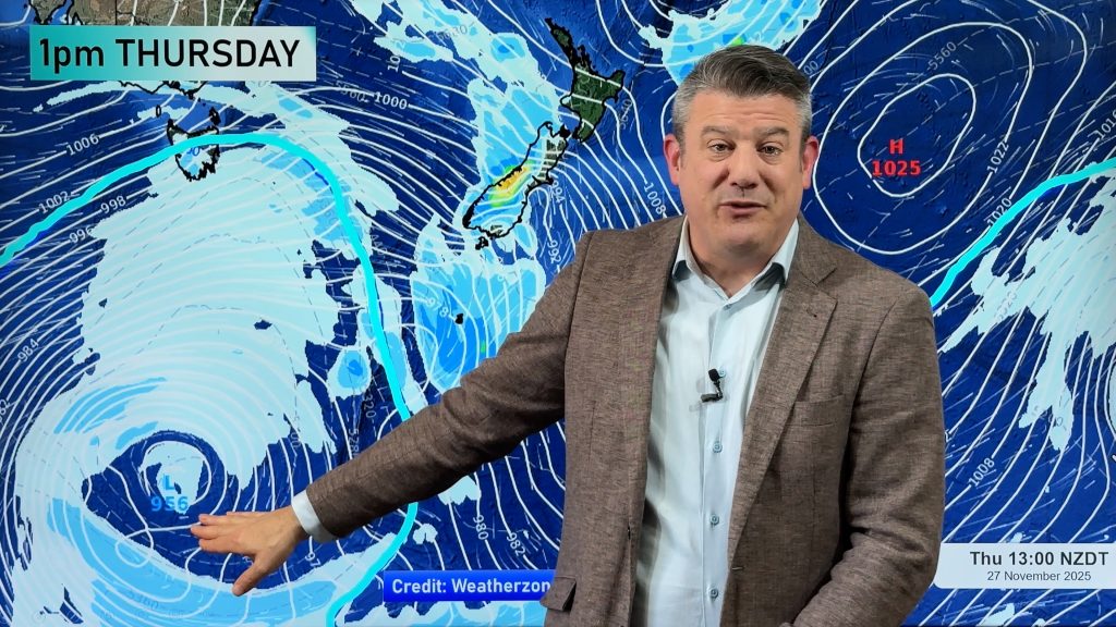
The size of this low is pretty impressive – engulfing much of the Tasman Sea and already the effects of this low are being felt in New Zealand with winds building right over the country and heavy rain still falling across the western side of the Southern Alps.
If you look at the satellite map to the right of this story you can still see two distinct frontal bands both travelling from north to south. The first band is currently over the South Island and is bringing all that heavy rain their today. The second, more active band, is off Australia’s east coast approaching the central Tasman Sea – that’s the one to keep an eye on.
I’m waiting for the Weather Watch Centre’s next run of computer models (which today will be around 6:30pm) and I should be able to have a much better idea as to how wet Sunday will be in my evening update around 7pm.
Story by Head Weather Analyst – Philip Duncan.
Questions? Then use the Contact Us button at the top.
Comments
Before you add a new comment, take note this story was published on 22 Nov 2008.


Add new comment
Guest on 23/11/2008 1:15am
Being dairy farmers in Northland we desperately need the rain. So far today (being Sunday 23 November) we have had nothing but wind and a couple of showers that didn’t even get you wet. Please please let it rain or we are in the sh*t!!
Reply
WW Forecast Team on 23/11/2008 3:25am
Yep, rain is definitely on the way. Those light showers will become more frequent this evening, turning to patchy rain over night. Tomorrow, heavier rain moves in – especially in the afternoon/evening. Should be a good soaking!
The Weather Watch Team
Reply
Guest on 21/11/2008 9:39pm
The big question is … will there be drizzle in Auckland tonight?
The success of my BBQ hinges on it.
: )
Reply
WW Forecast Team on 21/11/2008 9:54pm
That’s a very important question! I’d say my confidence is lower than it was yesterday for drizzle tonight but our forecast for Auckland this evening is still for cloudy conditions and the chance of a light shower/drizzle patch. I’d say the wind will be more a negative feature for BBQing with gusty conditions!
Phil.
Reply
ato2 on 21/11/2008 10:29pm
I think you may be onto something there, Phil. Here is metservice’s forecast for New Plymouth: Cloudy periods, evening drizzle. Northerly freshening.
So one would plan for a nothing much day!
It is in fact sunny, 19 degrees, though they are right about the northerly.
Earlier this morning it looked as if metservice’s forecast would be right as it was quite grey, but then it cleared up.
Cheers,
Tom
Reply