> From the WeatherWatch archives
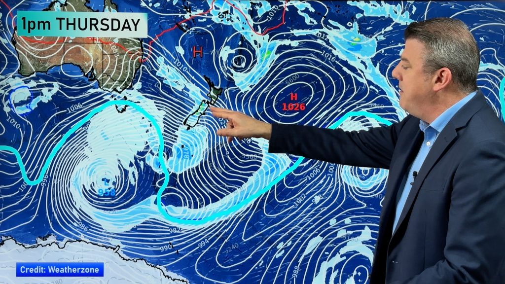
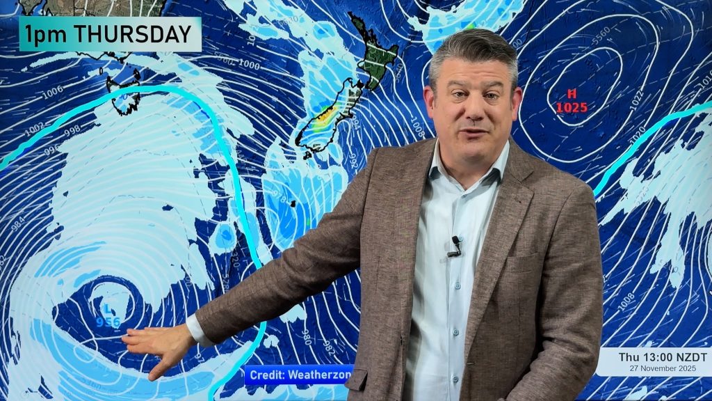
The centre of our next spring storm is about 24 hours from making landfall and as today continues those northerlies or nor’westers will start to build from Wellington southwards.
Clouds are now drifting into Southland and by tonight extensive cloud cover will spread over many western regions.
“As we reported in our early morning update conditions will be ‘all over the place’ with strong, warm, winds followed by heavy rain and then followed by a wintry burst of snow – all of this within a 1 or 2 day period” says Philip Duncan, head weather analyst at weatherwatch.co.nz.
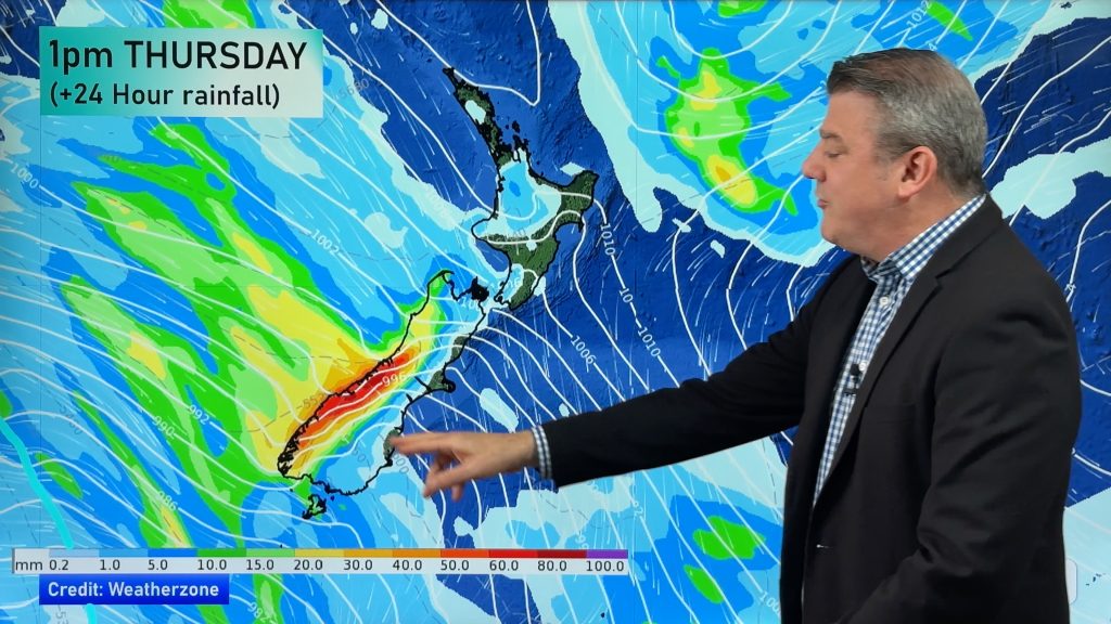
Mr Duncan says heavy rain will build across the West Coast tomorrow while in eastern areas, from Southland to southern Hawkes Bay, strong to gale force winds will develop. “These will be warm northerly or north westerly winds and will strengthen in the afternoon. Severe gales are likely in or around coastal Marlbourgh, Wellington and Wairarapa during Tuesday night and into Wellington morning”.
The Weather Watch Centre has issued it’s second Travel Warning in days advising motorists to take extreme care over the Rimutaka Ranges tomorrow night. The Centre warns winds may gusts as much as 160km/h at the summit.
The deep low, which has a similar air pressure to the storm that brushed northern New Zealand in late July this year, will move away from New Zealand firing a bitterly cold southerly change that will bring snow, sleet and hail to low levels.
Comments
Before you add a new comment, take note this story was published on 3 Nov 2008.


Add new comment