Southern Ocean lows dominating NZ’s weather for rest of January, early February (+8 Maps)
19/01/2025 9:12pm

> From the WeatherWatch archives
More windy westerly driven weather is on the way for NZ thanks to storms and low pressure south of the country, but we have some windy easterly weather to kick off the new week.
Despite Govenment weather agency NIWA saying recently to news outlet Stuff that NZ’s weather is “a real head scratcher” WeatherWatch has been consistent for several months saying until the Southen Ocecan weather calms down, don’t expect much change to NZ’s weather pattern. Stuff didn’t quote WeatherWatch, only Govenment sources in their story.
It’s unclear why NIWA – which is tax funded over 100 million dollars per year – is so perplexed by the current weather set-up when the Australian Government’s Bureau of Meteorology (BoM) is not (and has not been for almost a year on this specific forecast). It’s possible NIWA is using their own self-made computer modelling rather than superior public global modelling. NIWA is also blaming climate change for why their seasonal forecasts may not be getting it right, although that doesn’t explain why the Australian Govenment nailed the outlook for this summer in our part of the world.
Over the rest of January, New Zealand remains “stuck in neutral” which means the weather patterns around NZ itself may be more messy and less in a rhythm compared to other years (where we can get high pressure after high pressure in a row – or rainmaker after rainmaker in a row). This summer NZ has, so far, been on the edges of highs and lows which is why it’s been windier for many. High pressure has tracked further south of NZ and this has dredged up more Southern Ocean airflows while storms over the Southern Ocean have also helped increased the westerly flow over our country, says WeatherWatch.co.nz.
The unsettled weather means it will be windy at times and those inland and to the east will have the biggest temperature fluctuations in the week or two ahead, a bit like what happens in sping and autumn as nor-west winds fluctuate with sou-west winds. High pressure is in the mix too, but even going into February WeatherWatch.co.nz expects large Southen Ocean storms to continue to influence NZ’s weather, continuing those westerly winds off and on.
This coming weekend looks to be the next burst of windy weather – but as we kick off this week there will be wind and rain tracking down the upper North Island over the next 24 hours, with localised heavy falls and strong east to south-east gusts, easing on Tuesday PM. The windy easterly weather kicking off this week will not be welcome news for those camping and on holiday in the upper North Island, but the good news is that winds will ease mid to late week.
The northern rain will be welcome by gardeners, farmers, growers and those who rely on rainfall with many regions now leaning drier than average, especially along western NZ. Those in the eastern North Island don’t need the rain as much with conditions there wetter than usual for many.
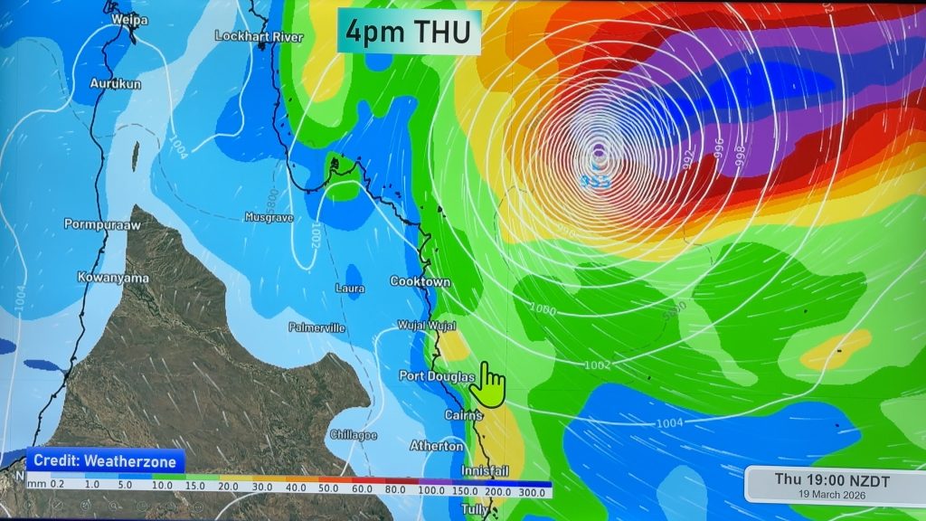
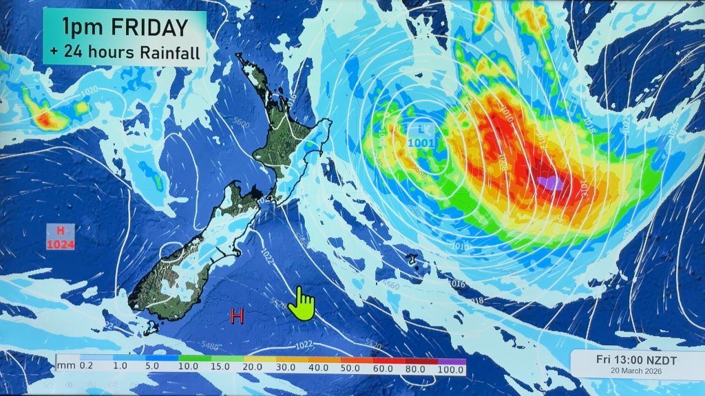
As for the tropics, February and March are the peak of the cyclone season as sea temperatures are at their highest. WeatherWatch.co.nz does see more energy up there in the coming weeks with more low pressure and rainmakers to our north worth monitoring.


- Maps powered by Weatherzone
- Story by Philip Duncan, WeatherWatch.co.nz
Comments
Before you add a new comment, take note this story was published on 19 Jan 2025.


Add new comment
Linda McDonald on 19/01/2025 9:45pm
You must be using the same maps as NIWA as you both said ‘cloudy’ for In,gill yesterday and today. It wasn’t and it’s not today…
Reply
WW Forecast Team on 20/01/2025 1:08am
We are 100% independent of NIWA because, even though NIWA wouldn’t exist without public tax funding, NIWA provides 0 data to private forecasters. In fact for real time observations NIWA quoted over 1 million a year to us (FREE to use in Canada,Australia,USA etc) which prompted a Commerce Commission investigation into NIWA, only for that investigation to be halted because MetService stood up and did the right thing.
Also note there is thick high cloud over Invers today… one area we know we can improve on is not showing a cloud icon when it’s only thin high cloud. Always room for improvement.
Cheers
– WW
Reply