> From the WeatherWatch archives
Melburnians have every right to be confused after last week’s topsy turvy weather going from record winter heat to blustery winter chill in just a few days.
On Thursday last week, Melbourne experienced its warmest July day on record, reaching a balmy 23.3 degrees. This was a whopping 10 degrees above average. The weather took a turn on Thursday afternoon as a cold front brought thunderstorms, strong winds and a dip in temperatures.
The cold airmass established itself on Saturday as cloud and rain kept temperatures below 10 degrees for the entire day, the coldest day in 7 years and more than a 13 degree differential from Thursday. The mercury only rose to 11.1 degrees on Sunday making it the coldest weekend in 13 years.
Yesterday it struggled towards a top of 14 degrees with cloud cover limiting heating slightly.
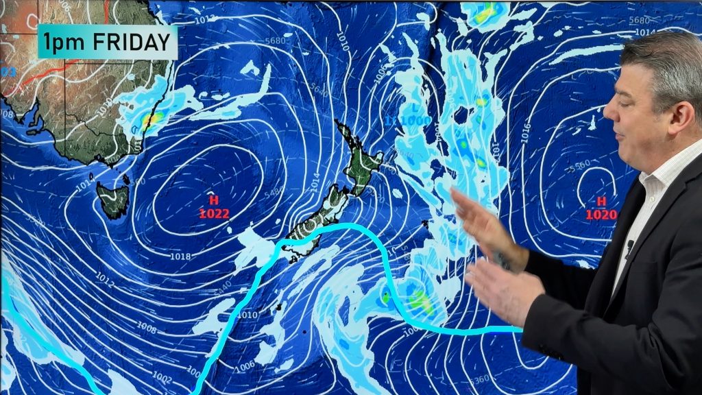
From today onwards the weather is looking more stable as a high pressure system establishes itself over the southeast. The temperature should steadily climb throughout the week reaching the late teens by the weekend. This week will provide the middle ground between last week’s extreme temperatures.
– Weatherzone
Comments
Before you add a new comment, take note this story was published on 23 Jul 2013.


Add new comment
LM on 23/07/2013 2:51am
23.3 is warm. The max temps being reached in NZ at the moment, should be spoken of as ‘mild’
Reply