> From the WeatherWatch archives
After a deep low that brought gales from Southland to Auckland, snow to Northern Otago and hail showers across more than half of the country along with winter temperatures – we’re in for a period of settled, warmer, weather. But it’ll be a brief period.
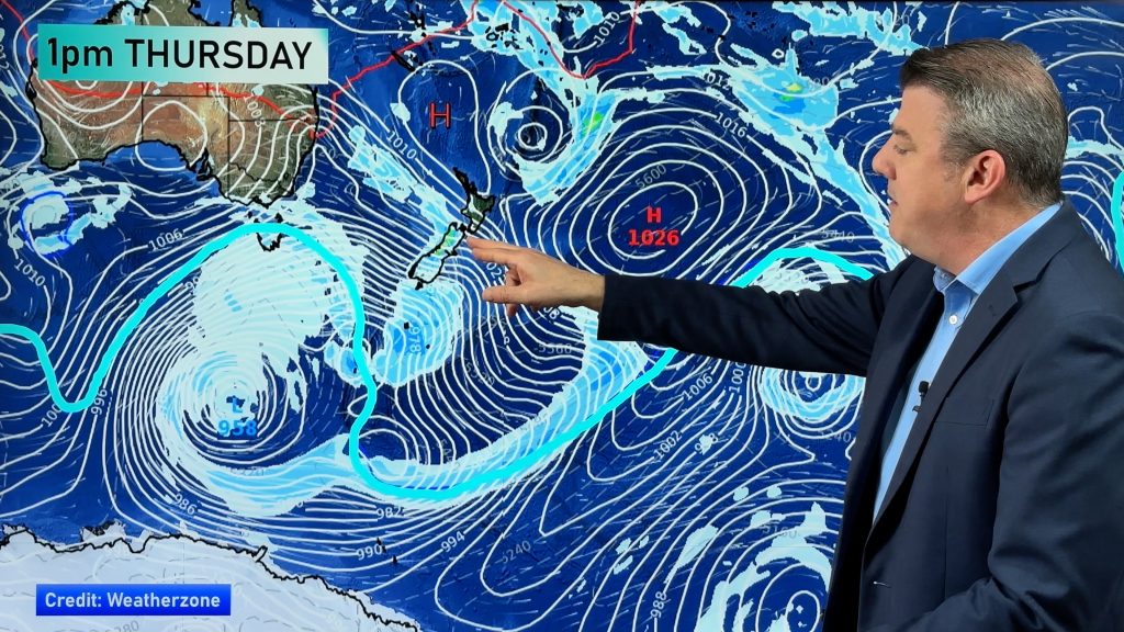
An anticyclone in the Tasman (it really earned it’s name this week after blocking a cyclone from coming our way) will finally spread a ridge over the country. The centre of the high should cross the South Island on Saturday bringing dry, sunnier and warmer days to almost all of New Zealand.
The clearer skies following the injection of polar air this week means some regions, especially in the South Island, will be in for some cold nights. Overnight lows will be well down in the single figures, especially inland. Light frosts are also possible through the interior.
In the North Island temperatures will also be well down for March especially in inland places like Waikato, King Country and Central Plateau.
But from about Auckland northwards the skies may not be completely sunny. The easterly flow wrapped around the top of the anticyclone may well bring in some showers, especially on Saturday.
Of course you can track the latest weather predictions with our new Auckland weather forecasts (independent of MetService) which you’ll find here.
The high (anticyclone) will move through fast with our next low moving in on Monday in the far south.
Check back with WeatherWatch.co.nz all weekend as we track the rain showers in the north and the changing conditions right across the country as these fast moving Autumn weather systems roll through.
Comments
Before you add a new comment, take note this story was published on 12 Mar 2009.


Add new comment
Andy H on 12/03/2009 8:04pm
Most of New Zealand will be bathed in sunshine tomorrow, while there may be rain or showers in Auckland just as the cricket rolls into town! Does anyone else feel that the Cricket Weather Gods may have been against us this summer?
Reply
Tom on 12/03/2009 7:49pm
Hi,
Are we looking at sunny weather for tommorow’s cricket match at eden park?
The metservice shows a cloud sign with two rain droplets for saturday however metvuw shows only light rain forecast.
Please let me know.
Thanks,
Tom
Reply
WW Forecast Team on 12/03/2009 9:38pm
Hi Tom – it’s still a hard one to pick, as a slight change in wind direction can make the difference between a completely dry as a bone day or a wash out as far as cricket is concerned.
At this stage it’s looking better than it did yesterday – still a risk of a shower, especially in the afternoon. We’ll have a much better idea this evening.
Check out our new and indepedent Auckland forecasts here.
We’ll be updating throughout the day tomorrow so be sure to check back. We may even make specific mention of Eden Park if need be.
Cheers!
Philip Duncan
Reply
SW on 12/03/2009 7:20pm
Why does this anticyclone take a whole week to get here,2 days to depart to be replaced by another stationary tasman high?
Reply
WW Forecast Team on 12/03/2009 7:51pm
Good question – the highs all Summer have been holding firm over Tasmania – which is why they saw all those record hot temperatures this Summer in Adelaide and Melbourne. Those highs were anchored in the Tasmania/Southern Tasman Sea area. Last summer the highs were anchored over NZ which is why we had those widespread droughts.
The patterns are all aligned differently this summer. Perhaps as La Nina starts to weaken those highs may shift. But for now, I’d expect more sou’westers, low cloud and cooler days along the west coast of New Zealand.
Cheers
Weather Watch
Reply