Some brief wintry weather for southerners, but high pressure waiting in the wings
19/11/2024 3:00pm

> From the WeatherWatch archives
Windier and cooler weather is coming in for the next couple of days – but high pressure is all around us to our east, west and north.
Let’s get into the forecast for Wednesday to start with…
RAIN:
Showers affect mostly the western side of the North Island today with rain and showers over the South Island, mostly coming in from the west and south-west, but some showers are possible over in the dry eastern side too.
WIND:
Nor-West or westerly winds become stronger in many parts of NZ today.
TEMPERATURES:
Those winds make many regions average to above average temperature wise, with warmest weather in the north and east of NZ and coolest weather in the south to south-west.
NEXT WEEK AHEAD
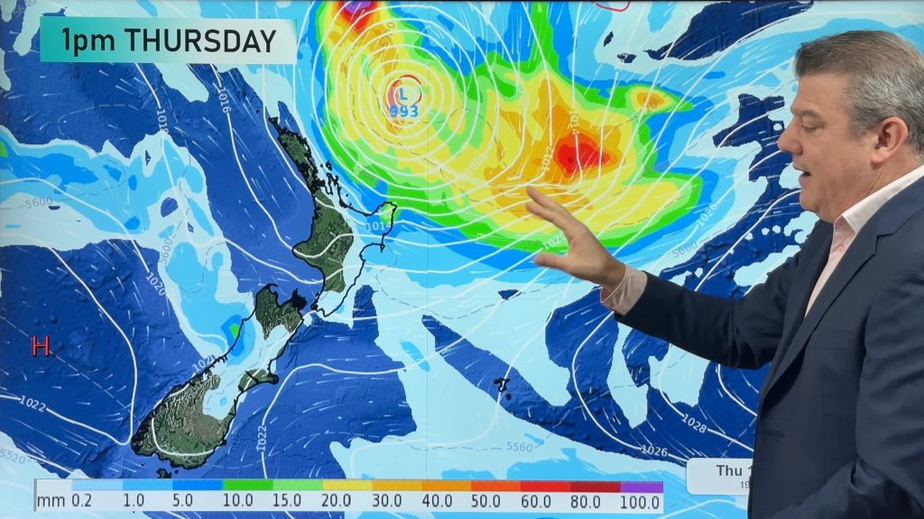
Thursday is when the main pulse of cold air heads over the South Island and into the lower North Island. The South Island may feel wintry with low daytime highs and snow on the mountains. Winds turn south to south-east over parts of the South Island and this brings some further wet weather into the drier eastern side – but more wet weather for Southland too. The North Island has a surge of showers from the west during the day, with cooler air arriving by late afternoon or at night.
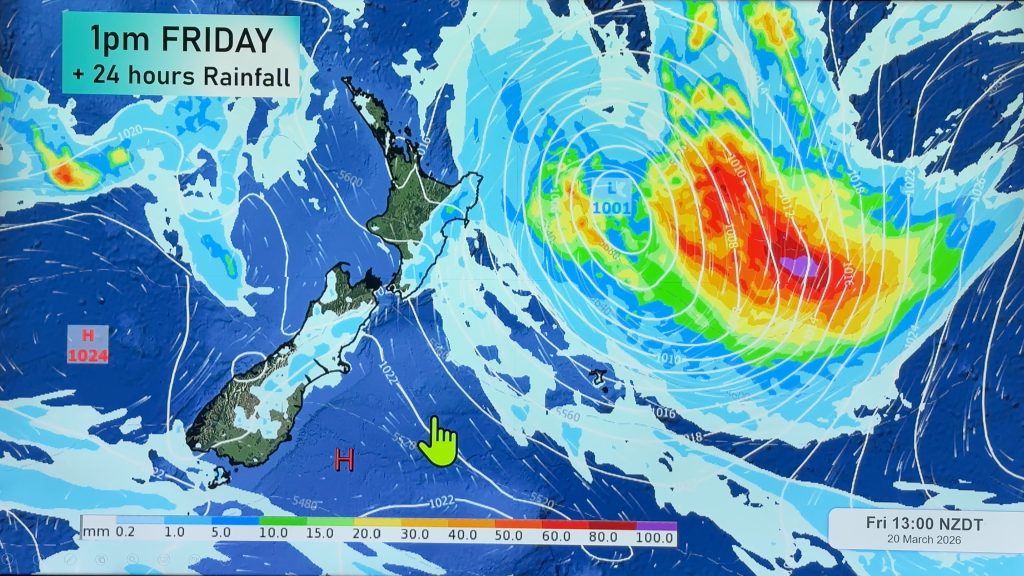
Across Friday, Saturday and Sunday the next high pressure zone is centred over the central Tasman Sea and that brings a sometimes fresh south-westerly flow across NZ and a few isolated showers. Large dry areas generally speaking.
Next week kicks off with more westerlies over NZ, perhaps another front brushing the south and south-west of the South Island on Monday, otherwise high pressure is looking to dominate NZ next week with those westerlies winds over the Southern Ocean occasionally heading northwards into the NZ area.
The next 7 days look drier than average for the entire North Island and much of the South Island with the exception of Fiordland and Westland which are normal to slightly wetter than normal for this time of the year.
*Video Programming Note:
We have no weather video today/Wednesday due to other commercial commitments we have. See you again tomorrow/Thursday.


As always drill down deeper with your hyper-local, hourly, FREE 10 day forecasts from WeatherWatch.co.nz, RuralWeather.co.nz – or download the FREE WeatherWatch Alerting App.
Comments
Before you add a new comment, take note this story was published on 19 Nov 2024.


Add new comment