> From the WeatherWatch archives
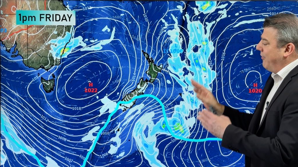
A cold front that moved through Victoria and Tasmania this weekend has left wet and wintry conditions in its wake.
Melbourne and Hobart’s temperatures fluctuated across Easter Monday as the sun popped out between showers.
Melbourne initially struggled to warm up from its overnight low of 12 degrees due to persistent showers. When the sun came out for around an hour the mercury rose to 16 degrees. However, in just 15 minutes the temperature dropped five degrees as showers again dampened the day. This made lunch time colder than any point during the night.
Hobart has had a similar day with an even colder morning minimum of merely six degrees. The city staggered to 12 degrees during the day before falling back below 8. The wind chill factor on top of this is making temperatures feel closer to 4 degrees at times.
Winds are picking up through southeastern Australia as the cold front progresses further into the Tasman Sea. Winds are also beginning to turn southerly and gust along the exposed coast around 80km/h. Just after 1pm St Kilda had a gust of 94km/h which would be strong enough to cause damage. The southerly change will continue moving east and up along the coast and reach Sydney this morning.
Snow is falling in many parts of Tasmania, with the lowest falls at Tarraleah (585m above sea level), where 1cm has fallen.
Victoria’s alps aren’t to be left out, with around 10cm falling at Mt Baw Baw and snow beginning to fall at Mt Buller around lunch time Easte Monday.
The snow forecast for overnight and this morning is for falls as low as 1200m in Victoria and more falls down to 600m in Tasmania. Falls in the Victorian alps should mostly remain below 10cm in depth.
Tomorrow is likely to be a touch warmer in most places as showers clear through Victoria. The rest of the week is likely to gradually get warmer as the sun dominates due to a developing high.
– Weatherzone
Comments
Before you add a new comment, take note this story was published on 9 Apr 2012.


Add new comment
sw on 9/04/2012 7:17pm
This is the same system advancing across the tasman to N.Z,though the taman sea will modify it somewhat it means lot of Wind for Auckland Wed night right till saturday from the SW or SSW later.
Reply