> From the WeatherWatch archives
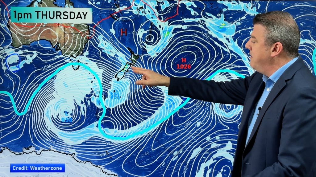
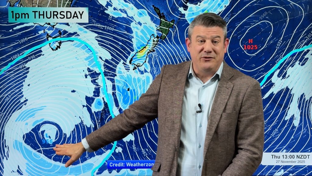
There may be a shift in New Zealand’s weather pattern this week as the large high pressure systems, that have dominated the country for much of the year, lose their grip. For dry farms, hydro lakes and ski fields this could all mean good news.
“The big highs have been sluggish, in some cases taking over a week to move off us. Highs act has brick walls to significant rain events so hopefully we’ll see them acting more like winter highs not summers ones – meaning they shouldn’t be as dominant” says head weather analyst Philip Duncan.
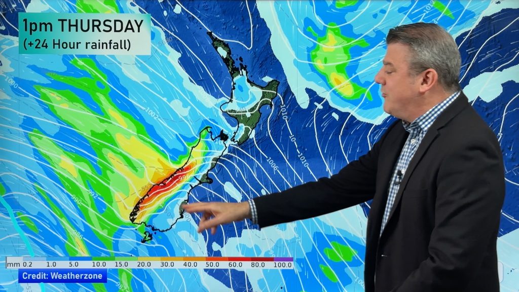
Duncan says rain, although probably nothing too significant, will fall over the North Island today. A large high should move over the country later in the week but a southerly front is looking likely for Monday or Tuesday next week. “It’s still a long way out but our current models show a decent southerly arriving next week”.
He says temperatures yesterday were incredibly mild in the north of both islands. “Northland, Auckland, Coromandel Peninsula, Bay of Plenty, East Cape, Hawkes Bay and Marlborough all hovered around 18, 19 and 20 degrees. Not bad for winter!”.
Comments
Before you add a new comment, take note this story was published on 15 Jun 2008.


Add new comment