Saturday’s national forecast – Settled then rain later out west (+12 maps)
29/10/2021 3:00pm

> From the WeatherWatch archives
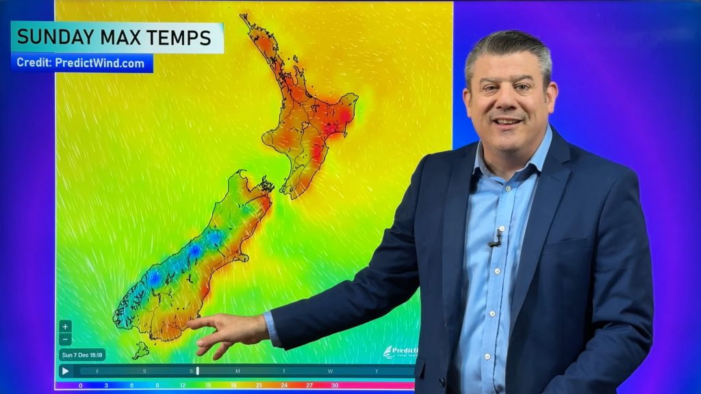
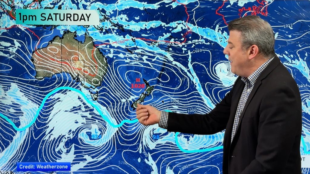
Settled, at least this morning with a ridge of high pressure then this evening a front pushes in from the Tasman Sea bringing rain to western regions.
Please refer to your local, hourly, 10 day forecast for more details.
Northland, Auckland, Waikato & Bay Of Plenty
Increasing cloud, a few showers move in this afternoon then rain later this evening or overnight. Westerlies tend northwest in the afternoon.
Highs: 20-22
Western North Island (including Central North Island)
Morning cloud and any showers clear then mostly sunny, cloud thickens again in the evening with showers, rain for Taranaki. Northwesterly winds.
Highs: 16-20
Eastern North Island
Any early cloud clears then sunny, high cloud from evening then overnight spots of rain spreading from the west. North to northwesterly winds, light afternoon easterlies about Hawkes Bay for a time.
Highs: 21-23
Wellington
Cloudy areas, some sun may break through at times. A few spots of rain around midday in the north then evening showers for most. North to northwesterly winds strengthen after midday.
Highs: 17-19
Marlborough & Nelson
Mostly sunny with some high cloud, evening spits or showers for Nelson, perhaps a few reaching over into Marlborough then clearing overnight. North to northwesterly winds breezy after midday.
Highs: 19-23
Canterbury
Some morning lower level cloud clears then expect mostly sunny weather and some high cloud. Northeasterly winds nearer the coast, winds tend northerly inland.
Highs: 19-23
West Coast
Areas of cloud, occasional sun. Rain moves into South Westland in the afternoon then North Westland in the evening. North to northeasterly winds change southwest overnight.
Highs: 17-21
Southland & Otago
Sunny areas and some high cloud, any morning lower level cloud about coastal Otago breaks away. Chance spot of rain late afternoon as northeasterlies (breezy for coastal Otago) tend northwest. Winds tend northerly inland.
Highs: 18-23
WeatherWatch.co.nz is proud to be setting the international standard for forecasting in NZ – powered by IBM


Comments
Before you add a new comment, take note this story was published on 29 Oct 2021.


Add new comment