
> From the WeatherWatch archives
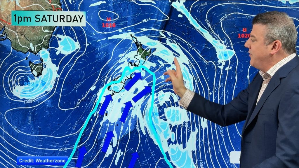
A large anticyclone lies to the east of the North Island today while a northerly airflow increases over the country, a front moves onto the lower South Island late afternoon / evening.
Northland, Auckland, Waikato & Bay Of Plenty
May be some morning low cloud or fog then mostly sunny, cloud builds a little in the afternoon bringing the risk of an isolated shower otherwise mainly dry. Light north to northeasterly winds.
Highs: 17-21
Western North Island (including Central North Island)
Some cloud about Taranaki and Kapiti, cloud thickens elsewhere during the afternoon bringing the chance of a light shower. North to northwesterly winds.
Highs: 16-18
Eastern North Island
Morning cloud clears then sunny with light northeasterly winds, winds tend more northerly about Wairarapa.
Highs: 17-20
Wellington
Sunny areas and increasing cloud, north to northwest winds increase also.
High: 17
Marlborough & Nelson
Sunny with some high cloud later in the day, areas of mid level cloud about Nelson and the Sounds during the day. North to northwesterly winds increases.
Highs: 17-19
Canterbury
Mostly sunny with some developing high cloud, north to northeasterly winds near the coast. Winds tend more northwest inland.
Highs: 19-22
West Coast
Mostly cloudy, patchy drizzle or showers about South Westland spread northwards in the evening. Heavy rain moves into Fiordland in the evening. Northeasterly winds.
Highs: 14-16
Southland & Otago
Sunny areas and thickening high cloud, late evening spots of rain for Southland. North to Nor’West winds.
Highs: 18-19
By Weather Analyst Aaron Wilkinson – WeatherWatch.co.nz
Comments
Before you add a new comment, take note this story was published on 3 May 2019.
Latest Video
Another cold blast this weekend + Christmas Day weather
As we’ve been saying for several weeks now, we have a spring-like pattern going through December, but with summer-like temperatures….
Related Articles
Another cold blast this weekend + Christmas Day weather
As we’ve been saying for several weeks now, we have a spring-like pattern going through December, but with summer-like temperatures….

Spring-like until Christmas (NZ’s 11 Day forecast!)
Severe gales, heavy West Coast rain, and temperature fluctuations are on the way as spring weather returns following a much…

NZ: Spring gales, temp drops (& spikes) + Fiji has a tropical low to monitor
We have our first forecast for Christmas Eve & Day today, but this coming week looks spring-like as a colder…


Add new comment