> From the WeatherWatch archives
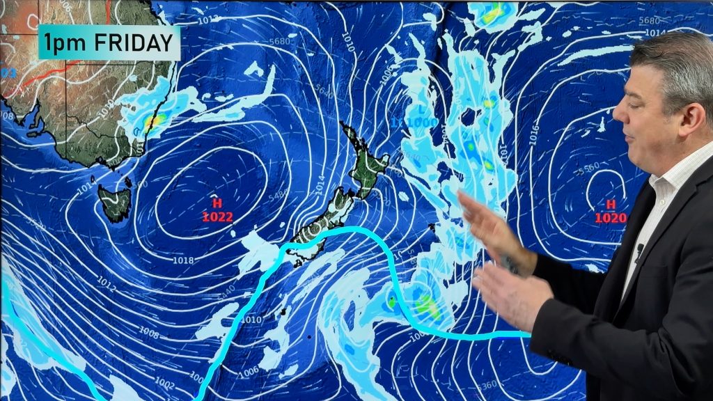
A broad swathe of QLD and NSW has started the first weekend of winter on a soggy note as a low forms over the nation’s east.
A broad trough of low pressure over QLD and NSW is being fed by moist easterly winds off the Tasman and Coral Seas today. This system has now spawned a low pressure system and is triggering widespread areas of heavy rain and thunderstorms.
Sydney was one of the worst affected places on Saturday, with unrelenting rain blanketing the city. At one stage, more than 14mm of rain fell in the city within the space of an hour, triggering flash flooding on roads and ovals. It was also Sydney’s coldest first Saturday of winter since 2007, with a high of just 17 degrees.
In Queensland, the heaviest rain during Saturday morning was in the Central Highlands, where places like Kulumur Range, near Emerald, received more than 40mm. This came after a wet night for the QLD interior, with the rain gauge at Lochington recording 107mm.
Locations from QLD’s the Central West to Maranoa, including Blackall, Mitchell and Bollon, have now received their heaviest since February from this system.
The trough and low causing Saturday’s widespread soaking will move east over the coming days. Further heavy rainfall is expected to affect southeast QLD and eastern NSW today as the low intensifies.
For Sydney, Monday should offer some brief respite as the low takes the heaviest falls south. On Tuesday, the low will deepen further and make its way north along the state’s coastline, delivering strong winds and another bout of heavy rain to Sydney.
-Weatherzone.com.au
Comments
Before you add a new comment, take note this story was published on 2 Jun 2012.


Add new comment