> From the WeatherWatch archives

Heavy snow in Queenstown late yesterday. Images by Chris S.
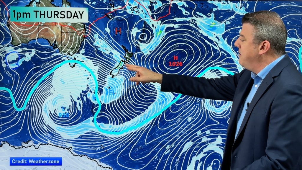
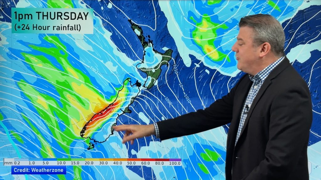
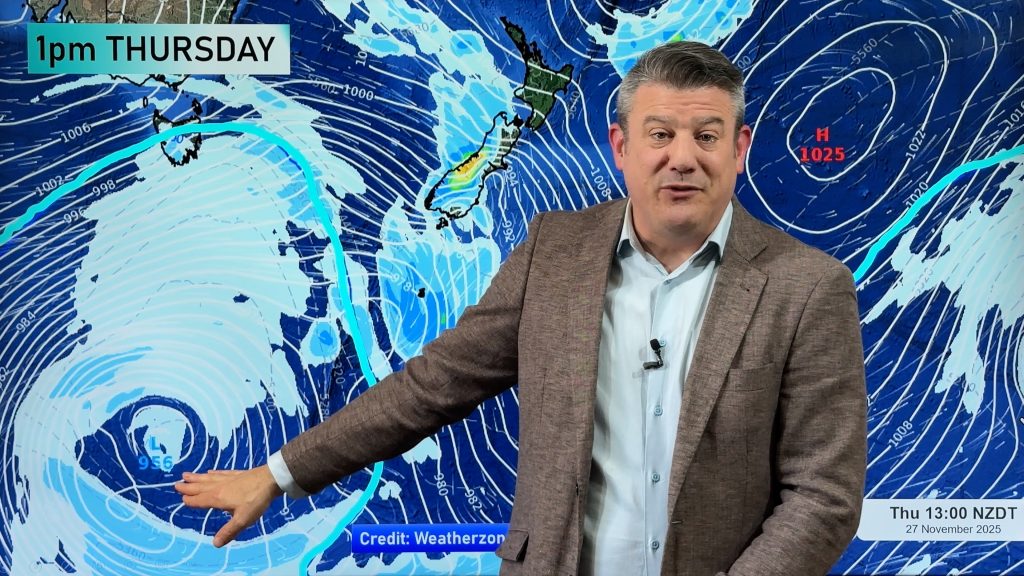
Big hail storms are continuing to pound the Wellington region today as the large wintry low continues to spiral over the entire nation. Thunderstorms kept many awake from Wellington through to Taranaki last night. The Lightning Detector at weatherwatch.co.nz has recorded over 8000 strikes in the first half of today and a few bands still remain out in the Tasman Sea, yet to move in.
The big low, described earlier in the week as being the size of Australia, still has a number of days to go before it clears New Zealand. “The size of a storm doesn’t always make it more fierce but it does usually mean rather than just a few days of bad weather, we’ll get several” says Head weather Analyst Philip Duncan. “Western and northern parts of New Zealand will see the worst of the weather easing during Saturday but showers will continue right into next week”.
Mr Duncan says Saturday sports may well be cancelled again – certainly across the North Island where heavy rain has left fields muddy under foot.
Heavy rain has been falling across the Waikato River catchments around Taupo and local Weather Watch reporter Laura Drummond says the river is running “very high”. Latest Auckland radar images – which cover from Central Plateau to Northland – show more heavy showers moving in for much of the day but with long dry spells in between.
Canterbury is still enjoying a relatively calm day with some cloudy periods and a chilly 6 or 7 degrees. “The Southern Alps are protecting them from the nastiest weather at the moment – but that will change later on Sunday” says Duncan.
The Weather Watch Centre predicted on Tuesday night that light snow flurries, possibly to sea level, may affect coastal Canterbuy on Sunday or Monday. “We’re still seeing evidence that that might happen. We’re not talking about anything too heavy at this stage, but it gives you an indication of how cold it will be for the South Island’s east coast on Monday” says Duncan.
TRAVEL
A number of roads have been affected by the storm – for all the latest traffic information in your area click on the Time Saver Traffic link on the right hand side of this page.
What’s the weather like where you are? Post a comment to this story!
Got photos of the bad weather? Email to us at philipduncan@radionetwork.co.nz
Comments
Before you add a new comment, take note this story was published on 15 Aug 2008.


Add new comment
Tom S on 15/08/2008 12:47am
I don’t know what part of Auckland the other guy lives in but here on the North Shore last night was wild! Strong winds, hail and two thunderstorms during the dark hours. Maybe he slept through it!
Reply
Dave C on 14/08/2008 11:49pm
Pretty calm and cool last night here in Auckland, looks like a front is approaching now quite dark out, no storms yet, but hope we have one later… 😉 Been windy up this way too, Wellington has a competitor for windiest place (I know after living there 27 years!). Great site too everyone!
Reply
WW Forecast Team on 14/08/2008 11:53pm
Some gusts reaching 100km/h in really exposed places in Auckland…but much lower in the suburbs themselves. I agree about Wellington/Auckland for wind!!
Phil.
Reply
Chris on 14/08/2008 9:05pm
I live in Lower Hutt…and boy was it wild last night.
The thunderstorms were crawling along the ranges for a good 2 hours at least.
Woke up this morning to another onslaught of thunder & lightning and hail that almost blanketed the ground.
Lovin’ it.
p.s Great site!
Reply
Mel on 14/08/2008 7:45pm
Hey Phil, is there any relief coming up from this freakin rain?? Will the sun EVER come out for more than one day at a time again LOL???
Cheers
Mel
Reply
WW Forecast Team on 14/08/2008 11:57pm
Some people weren’t too happy about me describing this low as the "size of Australia"…but this is why I said it – it will take many days to clear New Zealand. Big doesn’t always mean more intense – in fact quite often it does the opposite (energy gets spread over a much greater area). By the time this huge system moves away from New Zealand completely it will be mid-way through next week. Sorry!!
Looks as though some MIGHT see some sun Weds/Thurs. But don’t quote me on that! (i’ll delete this comment if I’m wrong! – just kidding 🙂 )
Phil
Reply