> From the WeatherWatch archives
Another low, moving in the same direction, could bring more rain and wind to northern NZ
+ Still very, very cold in the South
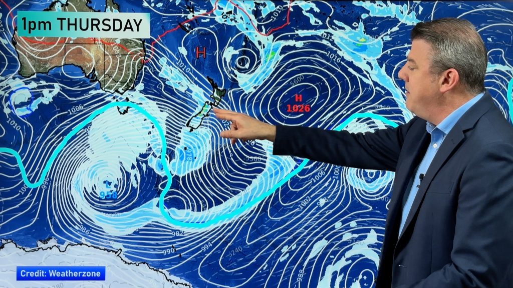
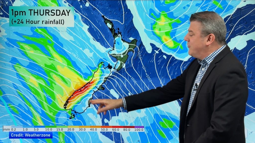
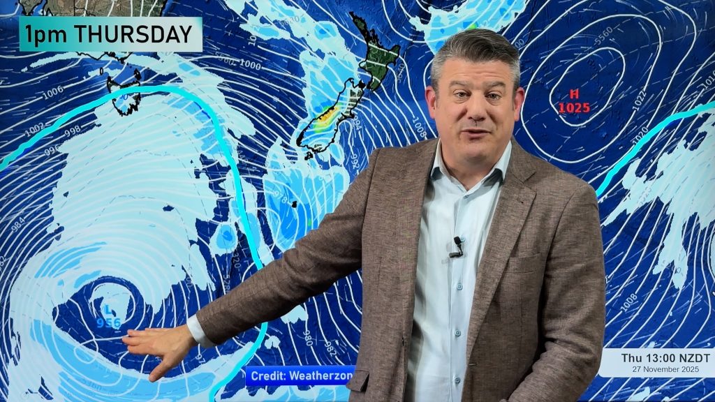
A mainly sunny and still start to the weekend is on the way for New Zealand but a low developing in the Tasman is set to bring some more rain and wind to the North. The low is just starting to form east of Sydney and by late Sunday the low is likely to be centred north of Northland. This is the same pattern all the recent big lows have followed.
“If you live in flood areas, the advice is don’t worry but keep up to date with the latest forecasts. At this stage the Low isn’t expected to be anywhere near as deep as the one this week” says TRN’s Head Weather Analyst Philip Duncan. “Because it will be in a similar position to this week’s storm there is the potential for a period of heavy rain and strong winds though”.
TRN’s Weather Watch Centre is forecasting rain to develop in Whangarei on Sunday with some heavy falls possible on Monday, with heavy showers likely Tuesday.
MetService is also saying there is a risk of heavy rains, but acknowledge the risk is only low at this stage.
“The latest computer models are predicting the large high in the South to remain which could cause another squeeze of air pressure between the two systems. No gales are expected but it could be a bit blustery in the north”.
Global weather forecasting giant weather.com is predicting rain will affect Coromandel and Bay of Plenty more so than Auckland on Monday with heavy thundery showers possible on Tuesday.
“Flood victims and those in charge of cleaning up the damage should just stay up to date with the developments of this system as it’s quite unpredictable. We can say for sure that as of Friday afternoon the system doesn’t look too concerning, but with saturated soil making conditions so fragile it’s important to keep the public informed as it wont take much rain to lift river levels” says Duncan.
THE COLD!
The South Island is shivering yet again today as cold air remains trapped under a large high pressure system. “In Lumsden and Gore and other central parts of the South Island the temperature hasn’t even gone above freezing all day. “It’s only warmed up to around minus 2 in Gore this afternoon and at noon it felt like minus 4 in Queenstown”.
More severe frosts are predicted all weekend in the South Island with winds dying away tonight in the north allowing frosts to creep in to more areas”.
THIS WEEKS BIG STORM
The big storm is now well and truly out into the Pacific, centred over 1000 kilometres north east of East Cape. “Winds are still gusting to around 50km/h around Hicks Bay and a few showers are being pumped in but conditions should quickly improve in the next 12 to 24 hours”.
THE RUGBY – All Blacks vs Springboks in Christchurch, Saturday night.
A light south westerly will mean mainly clear skies…and it’ll be cold. The ‘feels like’ temperature will be around 1 or 2 degrees for the whole game.
Comments
Before you add a new comment, take note this story was published on 12 Jul 2007.


Add new comment