> From the WeatherWatch archives
More rain for Hawke’s Bay
Snow for ski fields & Desert Rd
A chance for the North to dry out next week
The term “a mixed bag” couldn’t be more relevant as the weekend’s weather draws nearer. Heavy rain, possible thunderstorms, frosts, snow, a change in the wind direction and then drier, sunnier, weather are all in the forecast. The Radio Network’s Head Weather Analyst explains why:
What’s happening…
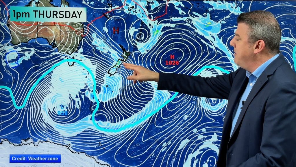
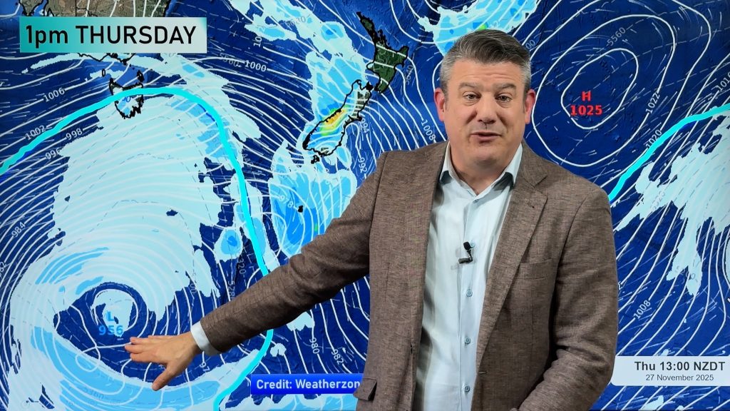
“There are three factors controlling our weather over the next 72 hours. A large low in the Tasman will bring more rain to the North Island during Friday and Saturday. Following that a cold front from another low near Antarctica will race up the country bringing snow to low levels over both islands. Then a large high, currently south of Australia, will spread over the North Island drying things out and creating westerlies over the South Island that could bring an end to severe frosts”.
Heavy rain for Hawke’s Bay…
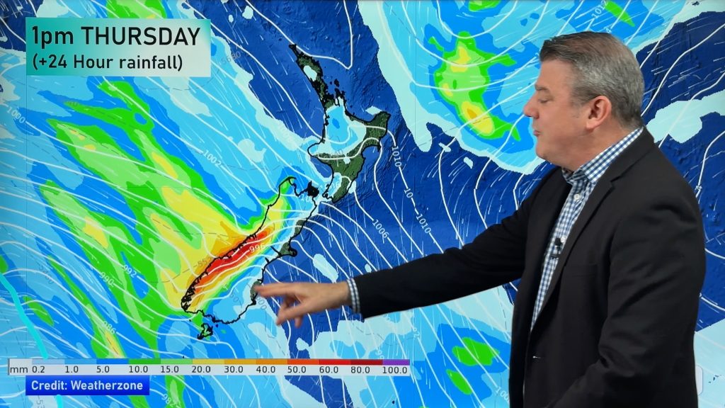
Duncan says more rain over Hawke’s Bay during Friday has the potential to become heavy at any time. “A front has stalled over the region and although it’s lost a lot of its puff the low in the Tasman is likely to feed it more moisture. I advise residents across Hawke’s Bay to be well aware that the risk of more heavy rain remains very high during Friday, Saturday and into Sunday morning”.
Snow…
The cold snap set to move up New Zealand should make landfall in Southland in the very early hours of Saturday. Sleet is expected to sea level with snow down to low levels. Duncan says 24 hours later it should be moving over the North Island bringing with it a “noticeable cold change to the entire North Island by the end of Sunday”. Weather.com is forecasting snow to fall on the Desert Road between midnight Saturday and noon Sunday and MetService advises snow could also fall on Napier-Taupo road and the Rimutaka Ranges highway.
Sunny, dry weather on the way…
But it’s not all doom and gloom. Ski fields will no doubt be happy with the heavy snow likely over the weekend and with a large high approaching early next week residents in Hawke’s Bay and Northland will be relieved that drier weather is on the way. “This high should spread over the North Island during Sunday night and Monday. Conditions should be mainly dry for a lot of New Zealand during next week with fine and frosty weather for Hawke’s Bay accompanied by drying westerlies”.
And it’s this High that’s expected to break some frosts. “Although it’s still too early to be 100% certain, some models are showing westerlies to pick up over the South Island next week between the high in the north and lows in the Southern Ocean. That will warm things up just a little and hopefully break some of these severe frosts”.
WEATHER NEWS HEADLINES:
– MetService also warning more heavy rain possible from Northland to Hawke’s Bay.
– 10 day forecasts provided by weather.com show easterlies switching to westerlies for most of New Zealand.
– Could be some thunder rumbles over northern and western parts of the North Island on Saturday.
Comments
Before you add a new comment, take note this story was published on 19 Jul 2007.


Add new comment