> From the WeatherWatch archives
There are early signs that some welcome rain could develop across parts of eastern Australia next week.
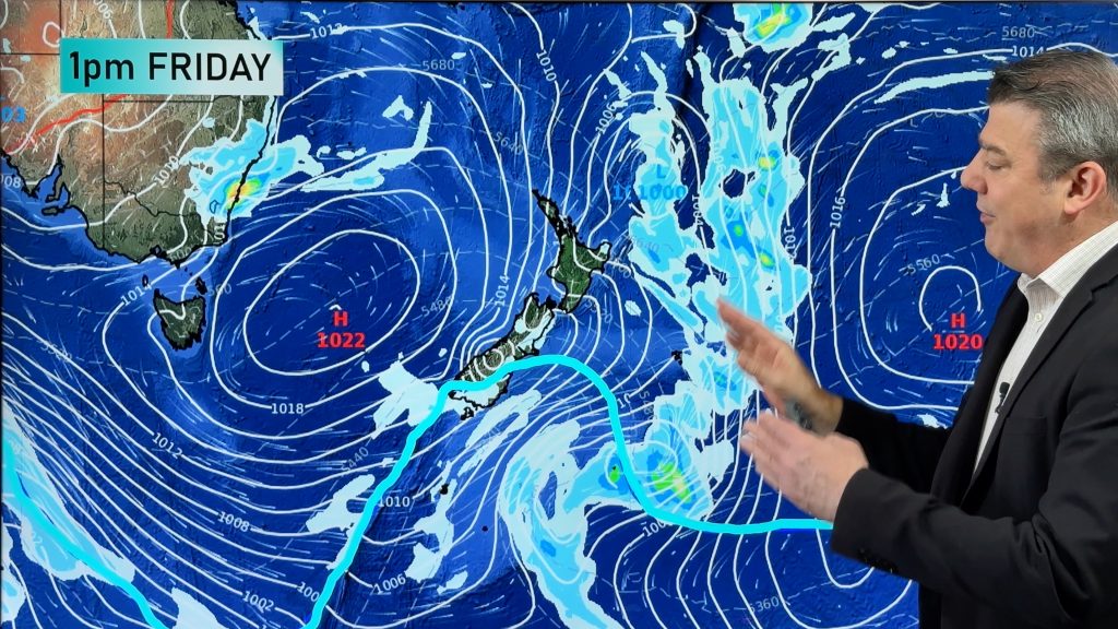
While a large ridge of high pressure across southern Australia is currently keeping much of the country dry, a rain-bearing system could be on the horizon for parts of Queensland and New South Wales.
A number of forecast models suggest that a deepening low pressure tough could cause widespread rain in eastern Australia between Tuesday and Thursday next week.
At this stage, it’s too early to know how much rain this system will bring and exactly where it’s going fall, although areas from central Queensland down to southern New South Wales could be affected.
More accurate information will become available in the coming days as the impending rainfall moves into the more accurate range of numerical weather prediction (NWP) computer models. The higher resolution models, such as Australia’s ACCESS-R model, only provide forecast information for the next 72 hours.
This system also has the potential to cause severe weather in some areas, so stay up to date with the latest forecasts and warnings if you have outdoor plans next week.
– By Ben Domensino, Weatherzone.com.au
Comments
Before you add a new comment, take note this story was published on 23 Jun 2018.


Add new comment