> From the WeatherWatch archives
Flooding rain is likely in southeastern New South Wales, the ACT and eastern Victoria in the next few days, starting as early as today, which has prompted the issue of a flood watch.
Over the next two-or-three days there is potential for 100 to 200 millimetres of rain, which is enough to cause significant flooding given recent rain in the area. For some this will be the heaviest rain they’ve seen since spring or last winter.
The most likely area for this sort of rainfall is on the South Coast of NSW and in Victoris’a East Gippsland, but it is also possible over the Southern Tablelands of NSW, the ACT and the North East of Victoria.
By early next week most of these districts will have exceeded their monthly average rainfall and also their summer average.
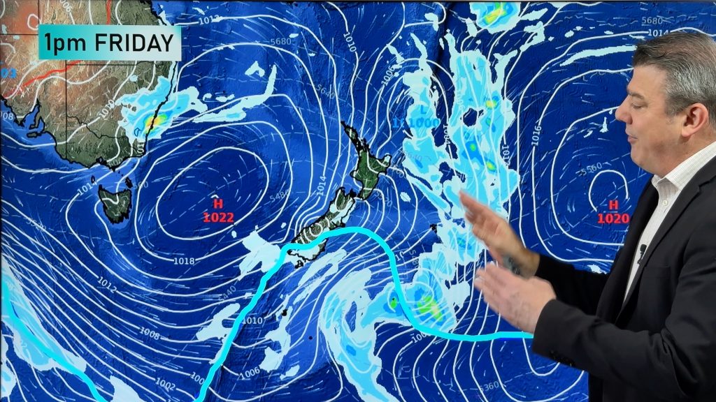
A low pressure trough is intensifying over the region with help from a pool of cold air moving in from South Australia. This trough will combine a fee of moist air from the Tasman Sea, courtesy of easterly winds.
The heaviest rain is likely to fall on Friday when the trough is at its most intense.
– Weatherzone
Comments
Before you add a new comment, take note this story was published on 8 Feb 2012.


Add new comment