> From the WeatherWatch archives
It was the coolest night last night since the end of last year for parts of Queensland and northeast New South Wales.
Last night was the coolest night since October last year for Taree in NSW and at Winton in QLD, dropping to 7.1 degrees and 11.9 degrees respectively. It was also the coolest night since November in Ballina NSW (11.7 degrees) and Moranbah QLD (12.9 degrees).
This cool night was due to clear skies, allowing heat from the previous day to return back into the atmosphere and cooler air to replace it.
A mostly sunny and warm day can be expected for inland parts of QLD, with the odd shower along coastal regions today, while a high pressure ridge will make for clear skies and warm daytime temperatures for
northeastern NSW.
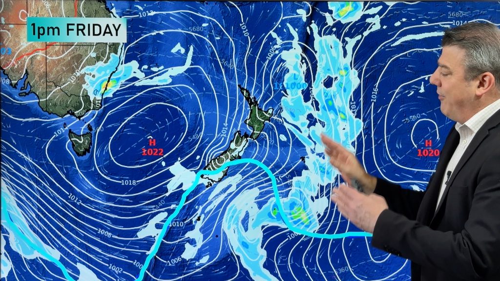
A high pressure system over the Tasman Sea will extend a ridge over QLD, maintaining an onshore flow along the coast over the coming days. This onshore flow coupled with a developing low in the northern Coral Sea will cause isolated showers along the east coast of QLD. A deepening trough over NSW will cause clouds to build and bring a few showers to eastern parts of NSW later in the week.
Once the trough passes through NSW and southern QLD and brings a southerly change, nights will become chillier again, most likely the coldest for the season so far.
Comments
Before you add a new comment, take note this story was published on 28 Apr 2013.


Add new comment