Hurricane Laura makes landfall in Louisiana, “Unsurvivable” storm surge
27/08/2020 6:05am

> From the WeatherWatch archives
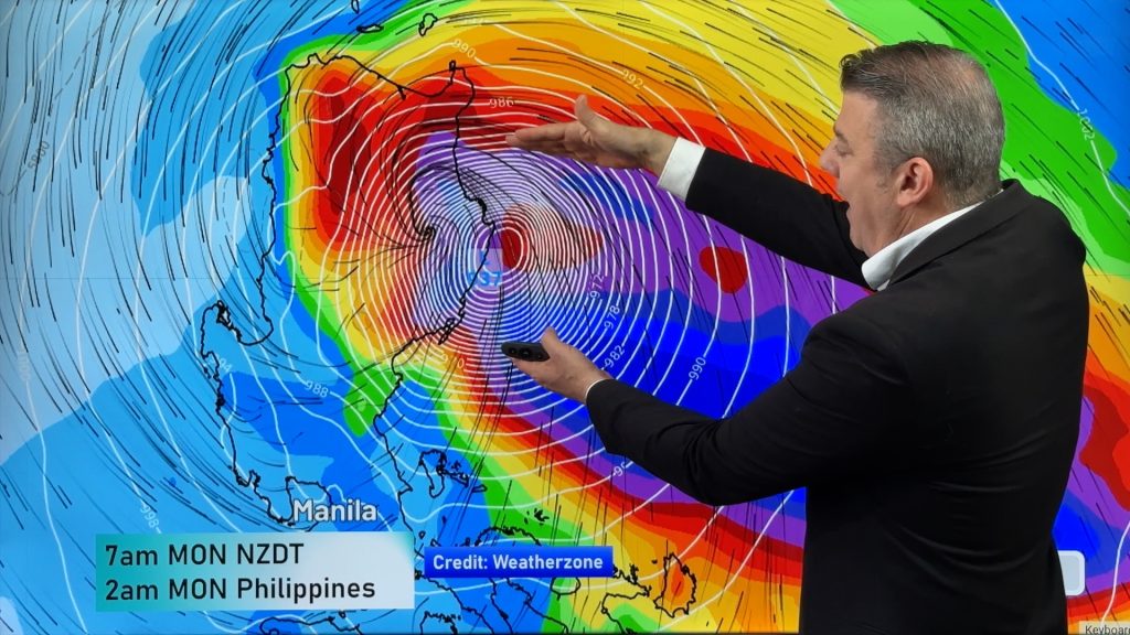
Breaking News — Hurricane Laura, a category 4 monster tropical storm, has made landfall in Camerona, Louisiana.
The storm has been almost a Category 5 hurricane this afternoon – making it much more powerful than Hurricane Katrina was when that storm made landfall, 15 years ago this week.
US Forecasters are warning that Laura has a potentially “unsurvivable” storm surge.
Coastal flooding will be catastrophic with some entire coastal communities wiped off the map tonight by this storm surge and intense winds.
Storm surge – that’s when the sea lifts up much higher than usual – could be as much as several metres (over 20 feet) above normal levels, entirely inundating homes well inland. Huge waves then go on top of that, meaning coastal flooding, damage and erosion from storm surge could perhaps be the most destructive force with this system – going many kilometres inland.
The hurricane is very powerful – growing from Category 1 to Category 4 in just 15 hours overnight, meaning many may not be evacuating.
The current air pressure is 938hPa.
Category 4 Atlantic Storms are bigger than the cyclones we get in the South Pacific – this storm really is a monster.
VIEW THE INTERACTIVE LAURA STORM TRACKER HERE
Finally, it’s not just land that has problems with Laura. The Gulf of Mexico is also home to many oil and gas platforms right in the path of this historic hurricane.


Maps above from the National Hurricane Center (NHC and NOAA)
Story by Head forecaster Philip Duncan, WeatherWatch.co.nz (A CNN affiliate)
Comments
Before you add a new comment, take note this story was published on 27 Aug 2020.


Add new comment