> From the WeatherWatch archives
A ridge of high pressure starts to sneak in over the South Island on Monday while a weak but broad area of low pressure hangs over the North Island.
For the upper North Island, expect showers for Northland for much of the day. For Auckland, Waikato and Bay Of Plenty conditions are mainly dry in the morning then a few isolated showers develop in the afternoon. Showers in the west from Auckland through to western Waikato may become heavy in the afternoon with a risk of thunderstorms then easing in the evening.
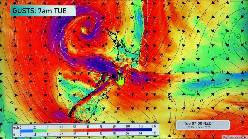
The lower North Island has mostly cloudy skies in a cool southerly airflow, winds are strong through Cook Strait. Some morning rain about Wellington eases to showers. Elsewhere expect a mix of dry spells and the odd shower, showers about Taranaki may become a little beefier in the afternoon.
For the upper South Island expect mostly cloudy skies with areas of rain or showers, rain is more persistent / possibly heavy at times about Buller and the northwest Nelson area then easing overnight. Winds are cool from the south. Any morning showers or drizzle about Southland / Otago clear then sunny areas increase in the afternoon, mostly sunny for the West Coast south of Hokitika.

Image – Monday 30th April 2018 3:00pm MSLP / Rain map – weathermap.co.nz
WeatherWatch.co.nz
Comments
Before you add a new comment, take note this story was published on 29 Apr 2018.


Add new comment