Monday’s weather headlines (x3): High pressure nudges in, EX TC Dovi is gone, chance of a frost?
13/02/2022 6:00pm

> From the WeatherWatch archives
HIGH PRESSURE PUSHING IN
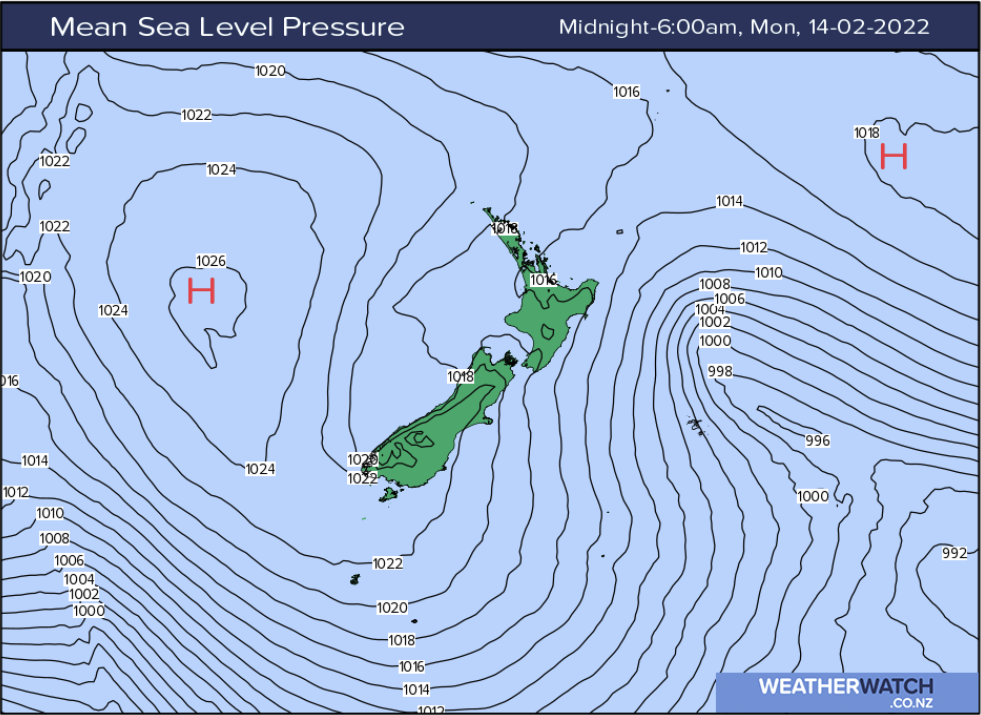
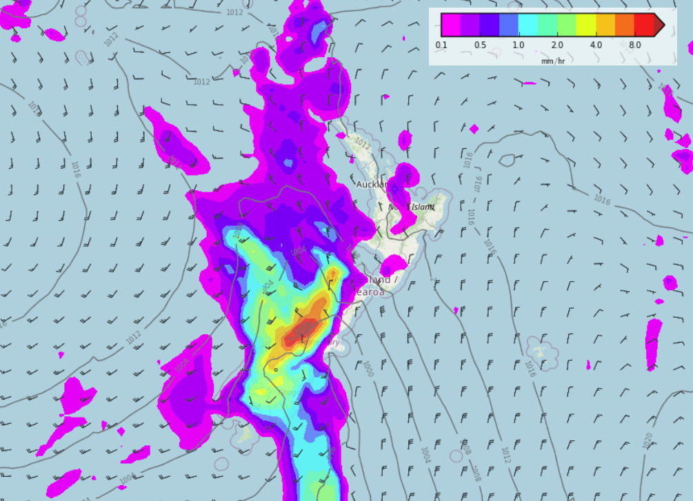
High pressure is pushing in today for the South Island heralding settled weather is on the way, Ex Tropical Cyclone Dovi has now dissolved and joined into an area of low pressure well to our southeast. We still have southerly winds for the North Island but they will ease across the day with showers becoming restricted to eastern regions overnight.

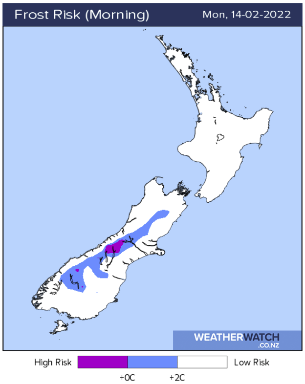
CHANCE OF A FROST THIS MORNING?
As high pressure has pushed onto the South Island today it will be a very chilly start for inland areas, up about the Main Divide and for Central Otago temperatures may start out around 2 or 3 degrees. There might have even been a light frost first thing about very sheltered spots.


NEXT FRONT DUE NEXT WEEKEND
The week ahead is looking rather settled, we need it after the rough period of weather we have just been through. High pressure will hang around this week for most then on Saturday a front moves onto the South Island moving in from the southwest.

Comments
Before you add a new comment, take note this story was published on 13 Feb 2022.


Add new comment
Jaco on 15/02/2022 10:08am
Fantastic coverage on Cyclone Dovi over the weekend! Thanks.
Reply
WW Forecast Team on 15/02/2022 11:19am
Thanks Jaco! Much appreciated 🙂
WW
Reply
Sue Edmonds on 15/02/2022 3:30am
Well it may have been humid, but we didn’t get much of the rain and it’s drying out again already. However, the two directions of wind, coupled with the rows of poplars I planted 24 years ago, have strewn 2 of my paddocks with twigs and branches. I’ll be more than a week cleaning up the mess.
Reply
Malcolm Yurak on 13/02/2022 10:15pm
Hallelujah for the departure of 10 days of 24 degree nights and 90% + humidity for the North Island. That would have to be one of the worst tropical experiences i’ve experienced. Beautiful 14 degrees driving to work this morning, a drop of 10 degrees from previous night! Hard to imagine.
Cheers
Reply