> From the WeatherWatch archives
High pressure is centred both to the south west and north east of New Zealand and there’s a bridging connection of high pressure across the nation joining these two highs.
Out in the Tasman Sea is a low that just departed from NSW. While it covers a large area and brings thunderstorms out over the central Tasman Sea, it’s held back at sea by the high pressure over NZ – which weakens the low as it inches closer.
So a few showers in the west, clouds thickening in some places – otherwise settled and warm across many regions. Much of the upper North Island and the West Coast are well above normal temperature-wise today, while coastal Canterbury is a few degrees below average (it warms back up again on Wednesday with some areas getting closer to 30 degrees inland!).
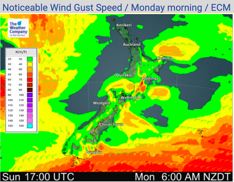
Many places in NZ will be cloudy today with winds fairly light for most.
As always, if you need to drill down deeper in your local area see our Maps and Radars section or visit www.RuralWeather.co.nz for even more data.
NEW 4AM LAYOUT: We’re now combining our 4am National Forecast and our 7am News story into one larger earlier issue, with many more maps. For early risers this means even more coverage about the day ahead, now from 4am every day of the week right here at WeatherWatch.co.nz. #FreeService.


Comments
Before you add a new comment, take note this story was published on 1 Nov 2020.


Add new comment