Monday Newsfeed: Patchy wet weather, mostly NI + New Tropical Cyclone developing
4/12/2023 7:38am

> From the WeatherWatch archives
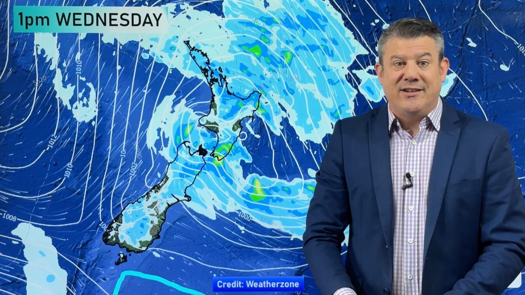
Updated 8:36pm — It’s a messy set up around New Zealand today with high pressure increasing from the west over the next day or two and tracking over the South Island. However the low that moved in from the Tasman Sea at the weekend, then fell apart, has left rainy areas around the North Island for today – easing further tomorrow. Totals aren’t generally too problematic – but some localised areas have reached rain warning criteria with a risk of slips and flooding.
The maps that matter most today are:
- See all official active MetService Warnings & Watches here
- Cumulative Rainfall maps here.
- Live Rain Radar
- Air pressure movement today
For most places it’s a bit of a cloudy day with the chance of some wet weather – but low rainfall totals. Drier weather increases across the week.
More updates will be added to this newsfeed today – but the full weather outlook will be in our 7 Day NZ Video.


WeatherWatch.co.nz newsfeed
Comments
Before you add a new comment, take note this story was published on 4 Dec 2023.


Add new comment