Tuesday Newsfeed: Huge high pressure parks itself over South Island & NZ (+6 Maps)
8/07/2024 7:58pm

> From the WeatherWatch archives
An enormous high (anticyclone) will bring lighter winds, colder nights, and mostly dry weather this week. Central Air pressure will be just over 1040hPa at the centre of the high – which makes it powerful for our part of the world.
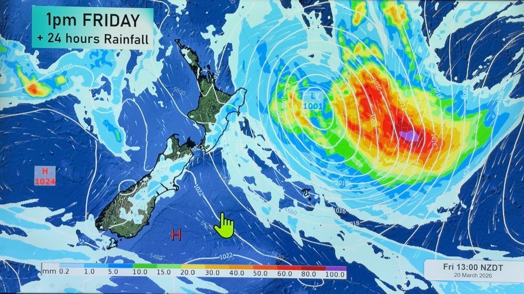
The high – which is centred directly over the South Island today – will last all week bringing dry weather, but eastern parts of the upper North Island have a few showers for Tuesday – and then again in the eastern North Island by Friday/the weekend from East Cape down to maybe Wairarapa. Either way, it’s still a mainly dry week.
Despite cooler nights, most places leaner milder than average this week, especially in the west. However eastern areas, especially higher elevation, may still be cooler than usual for this time of year.


- WeatherWatch.co.nz
Comments
Before you add a new comment, take note this story was published on 8 Jul 2024.


Add new comment