Monday Newsfeed: Changeable spring-like week ahead, high pressure in the mix, then cold front (+3 Maps)
22/09/2024 4:00pm

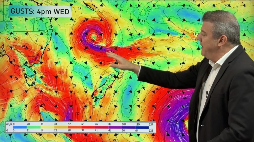
> From the WeatherWatch archives
This week looks to be shaping up as a traditional spring week of weather, but despite some cold fronts high pressure is moving in mid week (for a brief time!).
Let’s get into the forecast for Monday…
RAIN:
With a westerly flow moving over the country today eastern areas are dry or mainly dry with a few showers in the west of the North Island but large dry areas too – and an area of rain moving up the West Coast.
WIND:
Winds are mostly westerly today and lean a bit more north-west for the eastern side of the North Island – this is also where winds will be strongest. A west to south-west change also moves up through the Southern Alps.
TEMPERATURES:
Westerlies across the country bring a fairly classic temperature spread with mildest weather in the north of NZ and coolest weather in the very south.
WORKING WEEK AHEAD:
On Tuesday a windier south-west flow picks up over the country with strong winds in exposed parts of both main islands and marine gales. Showers move along the western side of NZ, especially the West Coast, with rain or showers moving into Southland again for a time.
But if you’re sick of this weather then Wednesday’s forecast may be more appealing as high pressure moves closer to the country and this pushes most of the windy south-west weather out east of New Zealand and a slightly milder nor-wester comes into the lower South Island, lifting temperatures after a cooler Tuesday – and drying the skies out for most parts of NZ – although a few light showers are possible around northern Hawke’s Bay and Gisborne, and maybe Fiordland.
On Thursday the high is over northern NZ while a large cold front and smaller area of low pressure moves into the south-west corner of the South Island with rain and strong winds setting in.
That active cold front moves into the North Island on Friday with snow on the ranges of the South Island.
We’ll have full details about the week ahead – and potential severe weather risks for Thursday/Friday – in our Monday weather video out around noon.


As always drill down deeper with your hyper-local, hourly, 10 day forecasts at WeatherWatch.co.nz – or download our Free WeatherWatch App.
Comments
Before you add a new comment, take note this story was published on 22 Sep 2024.
Latest Video

NZ 8 Day: High pressure to return, also monitoring tropics next week
A cooler change is moving into NZ tonight and Saturday then winds ease further on Sunday as high pressure starts…
Related Articles
NZ 8 Day: High pressure to return, also monitoring tropics next week
A cooler change is moving into NZ tonight and Saturday then winds ease further on Sunday as high pressure starts…

Unsettled Thu/Fri, high pressure returns this weekend & next week
Wind and some wet weather is moving into both ends of NZ today and tomorrow bringing broken up rain bands…
Subtropical low, windy for some, then high pressure slowly returns
It’s cloudy and windy for parts of New Zealand today with the North Island especially gloomy under cloud associated with…


Add new comment