Monday Newsfeed: A cooler, drier, week for most
21/07/2024 5:00pm

> From the WeatherWatch archives
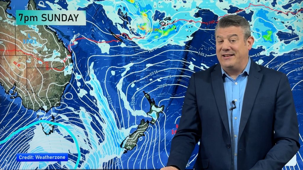
Cooler/colder air is moving in over the next couple of days as high pressure drifts out into the northern Tasman Sea and low pressure remains centred near the Chatham Islands.
This setup encourages southerlies and then south-westerlies over much of New Zealand.
Most of the country is drier than usual over the next several days, but showers are around for both today and Tuesday due to the large area of low pressure east of the mainland.
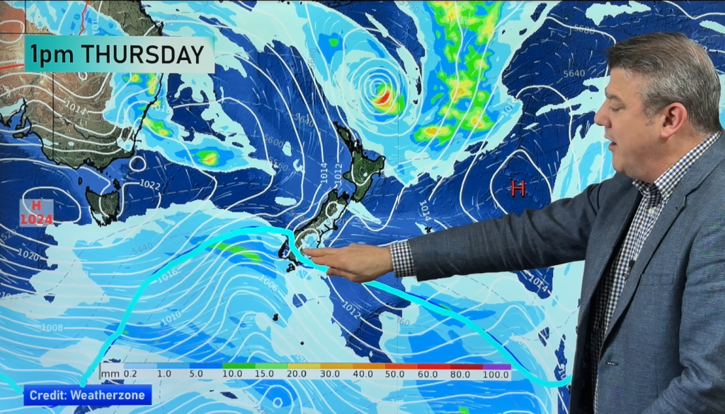
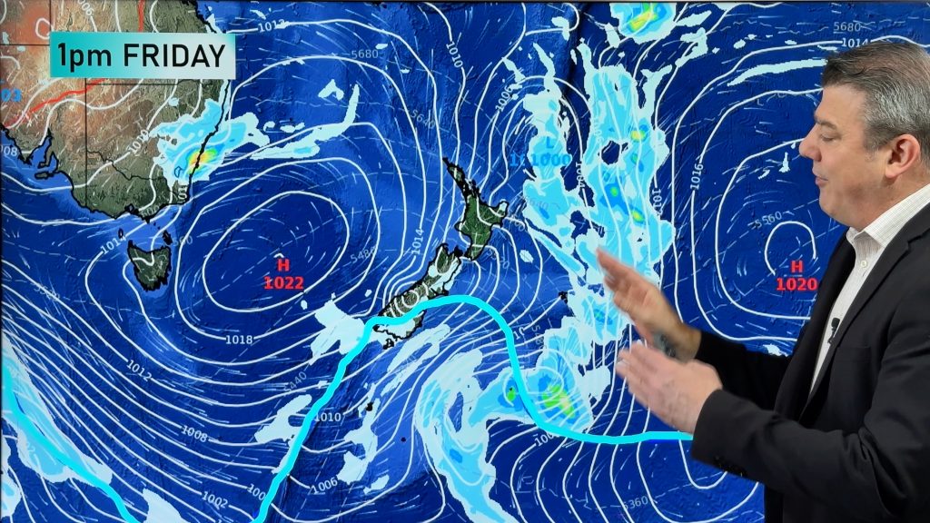
The lack of moisture means there will be little to no snow falling this week across the ski fields, with best chances this Friday/weekend in the South Island, and today in the North Island.


- WeatherWatch.co.nz
Comments
Before you add a new comment, take note this story was published on 21 Jul 2024.
Latest Video
Southerly coming Friday, windy westerlies to return next week + Tropical cyclone update
A colder change is coming for southern NZ later on Thursday and into Friday, with a southerly flow going nationwide…
Related Articles
Southerly coming Friday, windy westerlies to return next week + Tropical cyclone update
A colder change is coming for southern NZ later on Thursday and into Friday, with a southerly flow going nationwide…
Refreshing Friday coming + update on possible Vanuatu tropical cyclone
Hot weather will give way to cooler, or more refreshing, weather by the end of this week as a southerly…
A few temperature swings, a subtropical low & subantarctic airflows
High pressure dominates much of NZ to kick off this week – and likely returns again this weekend – but…


Add new comment