> From the WeatherWatch archives
Melbourne has been plunged back into winter temperatures after an unseasonably warm week.
Melbourne has just had its warmest start to August on record in terms of minimum and maximum temperatures, so the frigid conditions today must have come as an unwelcome surprise to many.
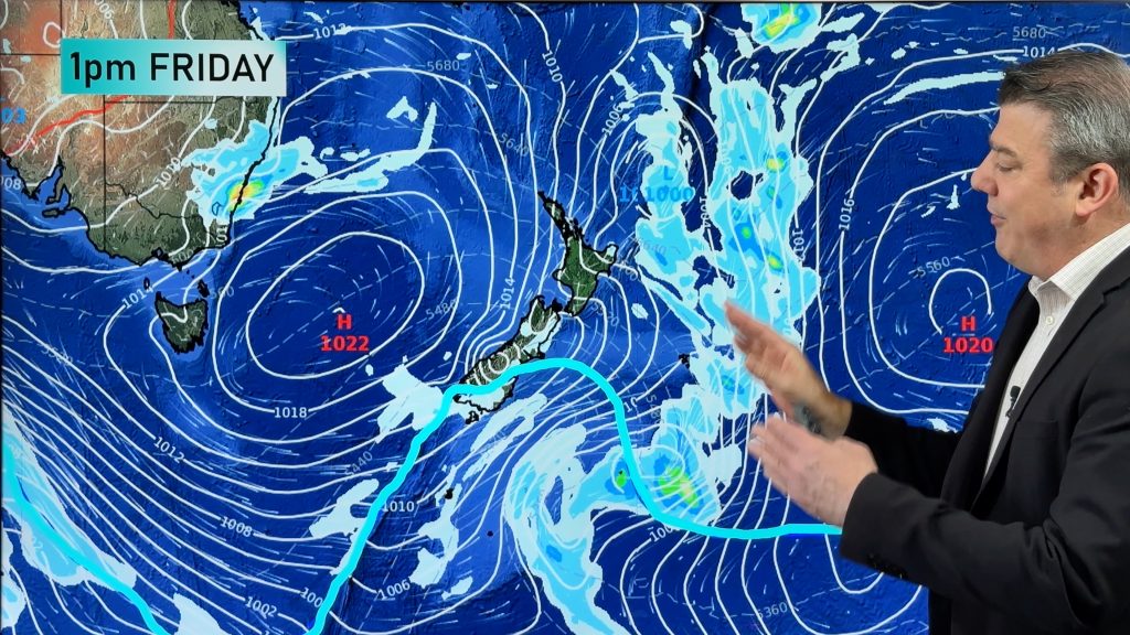
A cold front pushed through the city overnight bringing isolated showers, and an influx of cloud and chilly southwesterly winds all the way from the Antarctic.
The mercury was sitting at just 11 degrees at midday and must have had people unpacking the winter woollies that had been boxed up during the past week. Breaks in the cloud during the afternoon saw temperatures lift closer to the winter average, although still feeling like very cold after the recent warm spell.
Cloud, showers and lingering cold air will see the mercury struggle into the mid teens through to early next week.
– Weatherzone
Comments
Before you add a new comment, take note this story was published on 6 Aug 2011.


Add new comment