> From the WeatherWatch archives
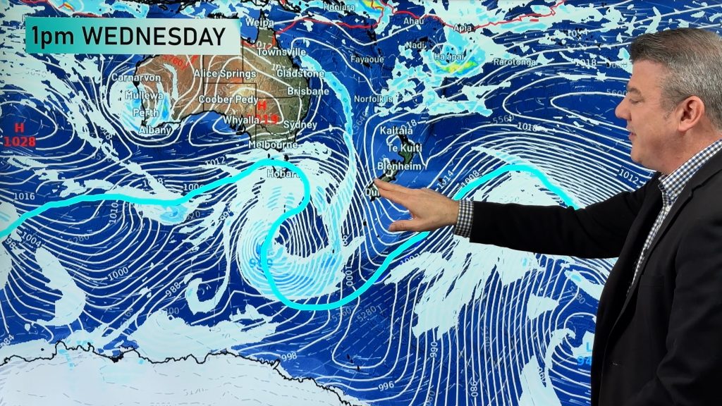
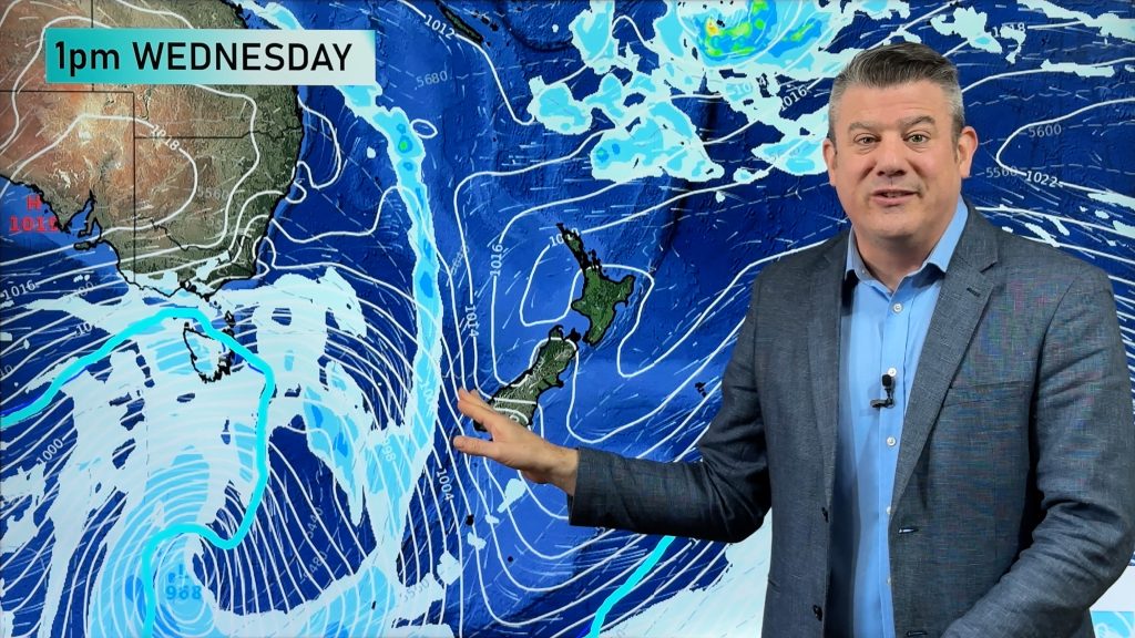
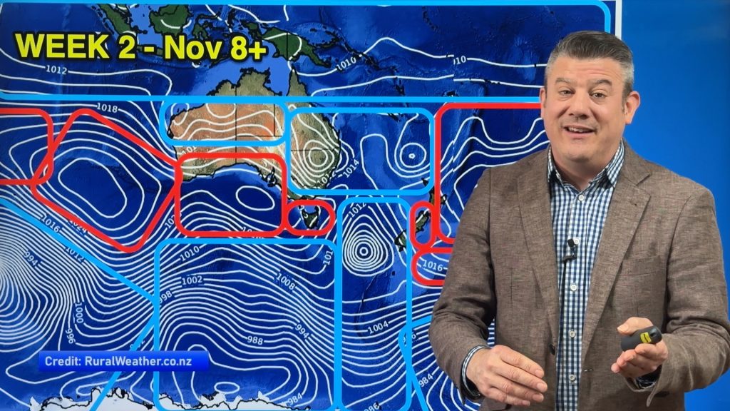
A collection of maps that show the size of the storm near New Zealand.
Plus, a map which clearly shows why the air is going to become so cold in the lower South Island on Friday night/Saturday.

This map shows the top half of the low (where the time stamp is). The isobars from left to right are about the same width as Australia. Map / Weather.com

Isobaric map / GrADS, COLA/IGES

This map looks directly down onto Antarctic. NZ is at the top hidden under a line of numbers. This shows the isobars this Saturday feeding air from over the Antarctic ice shelf and onto Southland. weatherzone.com.au
Have you seen other maps/images of the storm? If so – share the link in the comment section below!
Comments
Before you add a new comment, take note this story was published on 15 Sep 2010.


Add new comment
Debs on 17/09/2010 3:02am
What a great website! I will add to my faves so I can watch the weather inside and out!
Reply
David Barnes on 16/09/2010 9:38pm
The present system over antartica seems to totally encircle the continent,in fact i have never seen it like that , it seems to radiate out from the south pole and was wondering if this is a common occurance?
Reply
WW Forecast Team on 16/09/2010 11:43pm
Antarctica is the driest continent on earth. There is a constant high that sits over the South Pole stopping any moisture from getting in. The lows circle around it on the fringes between the outer edges and Australia/NZ etc.
– WeatherWatch
Reply
Justin on 17/09/2010 2:03am
Where is that ‘constant high over Antarctica’ in the lowermost isobar map above?
Reply
WW Forecast Team on 17/09/2010 2:50am
That map isn’t the best map to see it, but it’s really that large area in the middle (it’s not a low).
– WeatherWatch
Reply
Sally on 16/09/2010 9:02pm
http://www.oceanweather.com
Go to “Current Marine Data” – bottom rhs, and click on NZ
Reply
Guest Safety. on 16/09/2010 7:17pm
Is it safe to travel by car from Taupo to the farNth today pm?. approx 10 hr drive.
Reply
WW Forecast Team on 16/09/2010 9:00pm
It will be windy with passing heavy showers/squalls.
The sooner you leave the better – take care.
WeatherWatch
Reply
Guest on 16/09/2010 4:58am
What is it likely to mean for conditions on Whakapapa this weekend and travelling down and getting to lodges at Whakapapa Village?
Reply
WW Forecast Team on 16/09/2010 6:08am
MetService says snow likely to 700 metres on Friday night/Saturday morning. I think gales and snow will affect the mountain. Roads should be ok getting there and back but windy in exposed places.
– Philip Duncan
Reply
View more comments