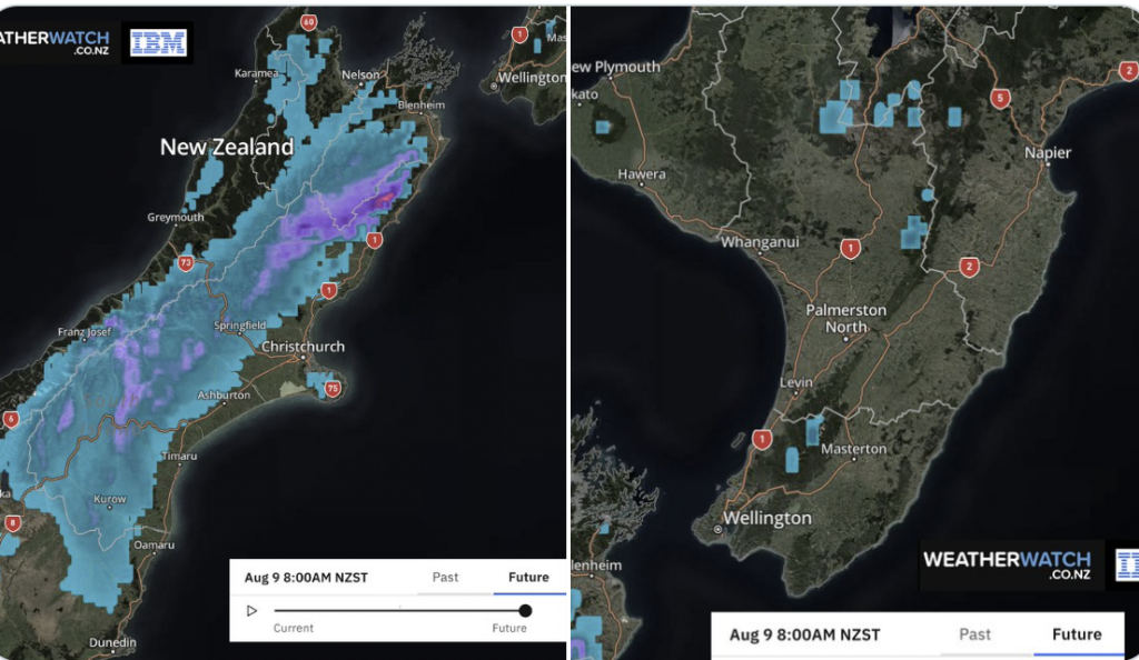
15 Maps to make sense of the latest weather
7/08/2022 11:00pm

> From the WeatherWatch archives
Snow showers in the South Island, strong winds through Cook Strait, more northern Rain. The next few days have some classic mid-winter weather rolling through.
We break down the snow, rain, wind and temperatures so you can get a better feeling for what is coming your way over the next 72 hours with the 12 maps below.
See WeatherWatch.co.nz and RuralWeather.co.nz hourly forecasts for more details.
All MetService warnings can also be found on the WeatherWatch.co.nz website.
Comments
Before you add a new comment, take note this story was published on 7 Aug 2022.


Add new comment
janet on 7/08/2022 11:46pm
horrible,why is the amounts of rain differ from metservice please
Reply
WW Forecast Team on 8/08/2022 12:36am
Hi Janet, you could ask that of any forecaster. Because no forecaster is 100% accurate every forecaster has different ways of doing it. Our data at WeatherWatch has been rated independently by a Government Agency here in NZ and independently on a global scale as being the most accurate available, but we’re not perfect either – always improving though.
Cheers
Philip Duncan
Reply