Low pressure covers NZ until Sunday (+3 Maps)
18/12/2024 7:46am

> From the WeatherWatch archives
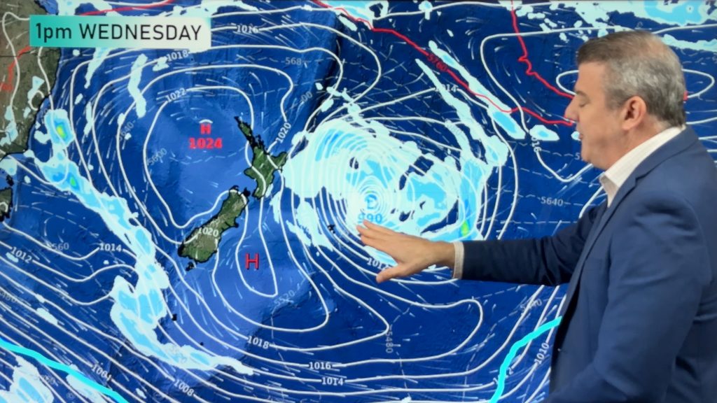
On Thursday there isn’t a great deal of change for the North Island from Wednesday with eastern rain or showers from East Cape to Wairarapa and those windy easterly quarter winds pushing into eastern areas from East Cape all the way down to coastal Otago and the Catlins. The South Island has east to north-east winds – again mainly along that eastern side – and that might see a few eastern showers into places north of about Banks Peninsula.
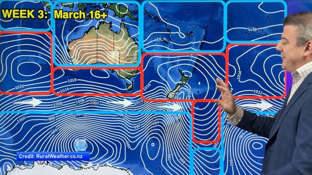
By Friday a new area of low pressure lies over NZ, centred mostly over the Tasman Sea – the storm north-east of NZ is gone and absorbed into this new larger but weaker low. Despite this new large low forming late week and over the weekend – it doesn’t appear too severe.
The weekend will have unsettled weather moving in from the west with more rain, showers and even some thunderstorms. Low pressure centres can have calm and sunny weather at times – but the low air pressure can also suddenly create downpours and thunderstorms. Keep up to date with our forecasts, they update hourly and that is especially helpful on the day.
As for Christmas Day next week – We’ll be locking in our Christmas Day forecast this Thursday at WeatherWatchTV on YouTube.
REDUCED SUMMER SCHEDULE
Starting from this weekend we have a reduced news and video schedule over the next month with lighter daily news updates and fewer weather video updates (last year we had no video updates so the reduction is an improvement over last year!). Should any major weather event hit we’ll activate our full team. Our forecasts continue to update each and every hour


Drill down deeper with your hyper-local, hourly, 10 day forecasts by downloading the FREE WeatherWatch App.
Comments
Before you add a new comment, take note this story was published on 18 Dec 2024.


Add new comment
Alice on 17/12/2024 9:44pm
No wonder it was so cold last night, and I couldn’t stop sneezing all day yesterday – clearly my body knew something was coming. Bring back the warm weather!!!
Reply