> From the WeatherWatch archives
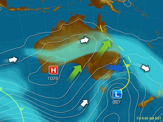
The sub-tropical jet stream, a super fast high altitude corridor of air is today dipping down over northern New Zealand bringing gloomy conditions.
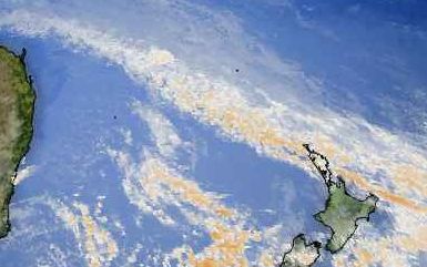
The jet stream – which marks the boundary between our temperate climate and the warmer sub-tropical conditions north of us – is dragging thick cloud over northern New Zealand and while clear skies lie hard up against it, it’s tracked so far south that Northland and Auckland remain overcast this afternoon. The warmer air remains just north of New Zealand.
Cloudy skies means temperatures will no longer reach the levels predicted earlier in the north – at least not today.
If the jet stream heads further south it would bring very warm conditions to northern New Zealand but at this stage it remains on our front door step.
Image: The pale blue indicates the jet stream / weatherzone.com.au

Below: The jet stream clearly seen on the satellite map / Weather.com

Comments
Before you add a new comment, take note this story was published on 27 Aug 2010.


Add new comment
Vicky on 27/08/2010 3:54am
I love the information….keep it up…this website is great.
Reply