InfoGraphic: The main Weather News Highlights across NZ for next 3 days
10/01/2017 6:00pm

> From the WeatherWatch archives
Northwesterlies strengthen over New Zealand today with a front moving onto the lower South Island overnight. This front pushes northwards during Thursday reaching the lower North Island in the evening. This front clears the upper North Island on Friday morning, a west to southwesterly airflow lies over most of the country.
Wednesday
Blue – Rain moves onto South Westland overnight with heavy falls.
Purple – Brisk to strong northwesterly winds develop from Canterbury through Cook Strait from afternoon.
Yellow – A warm day across parts of New Zealand, reaching into the high 20’s for many, even the early 30’s for the eastern North and South Island.
Thursday
Blue – Rain eases during the afternoon for the West Coast of the South Island.
Purple – Winds brisk to strong about eastern parts of New Zealand from Southland up through to Cook Strait from the west or northwest. Gales possible too mainly for inland areas and especially about coastal Southland and through Cook Strait.
Yellow – High’s in the mid to late 20’s for many parts of the country in the afternoon.
Friday
Purple – Brisk westerlies tend southwest in the afternoon about coastal parts of the lower South Island. Northwesterly winds brisk to strong from afternoon through Cook Strait.
Yellow – Temperatures reaching into the mid 20’s in the afternoon for parts of the eastern and upper North Island.

– Please note, the idea behind this update is to focus on the main weather highlights, which is why not all regions are mentioned.
For specific 10 day information for your city, town, rural community or island please see the 1500 forecasts on our homepage!
– Aaron Wilkinson, WeatherWatch.co.nz
Comments
Before you add a new comment, take note this story was published on 10 Jan 2017.
Latest Video
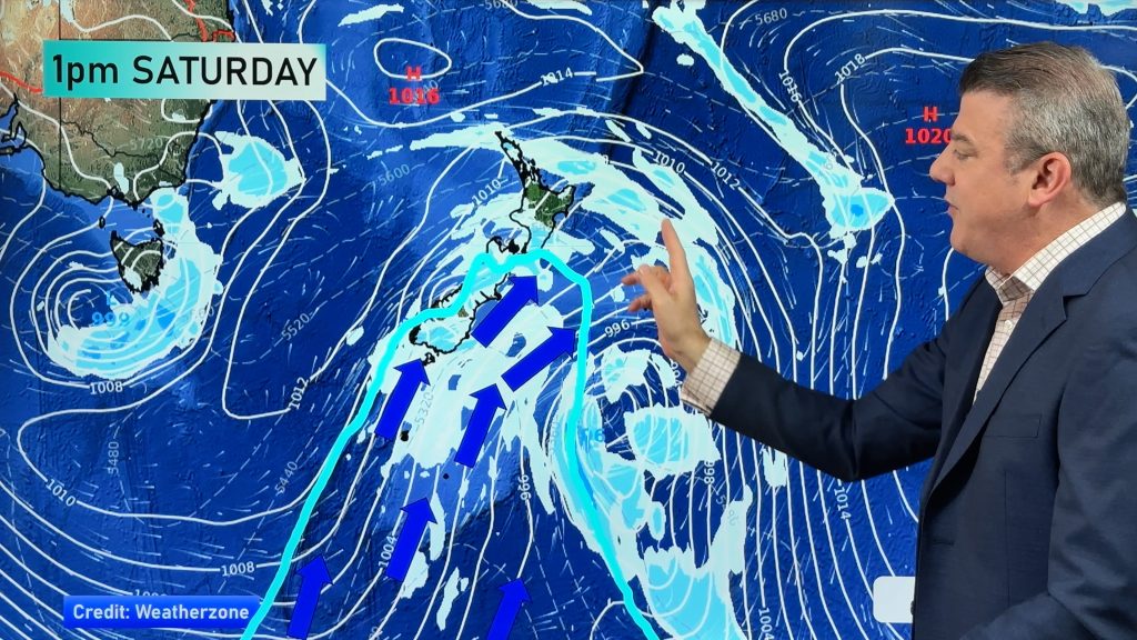
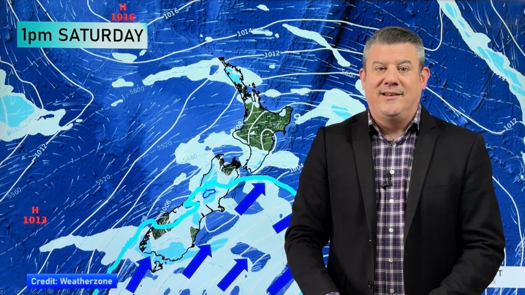
Another cold blast this weekend + Christmas Day weather
As we’ve been saying for several weeks now, we have a spring-like pattern going through December, but with summer-like temperatures….
Related Articles
Wintry change for some, windy and warm for others
A cold snap is moving up NZ today and Saturday, before easing Sunday and clearing most places on Monday –…
Another cold blast this weekend + Christmas Day weather
As we’ve been saying for several weeks now, we have a spring-like pattern going through December, but with summer-like temperatures….

Spring-like until Christmas (NZ’s 11 Day forecast!)
Severe gales, heavy West Coast rain, and temperature fluctuations are on the way as spring weather returns following a much…


Add new comment