> From the WeatherWatch archives
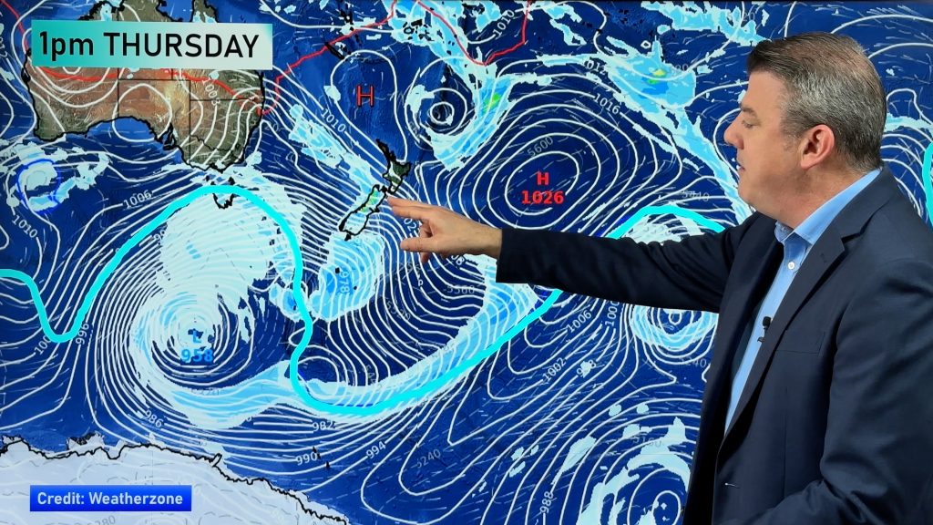
A big high pressure system is building over the country and the Tasman Sea this week bringing a return to dry and windy conditions. “After almost a month of changeable weather, this week looks set to be mainly stable thanks to a big high. That means more sun and heat for North Island beaches and warm westerlies for the South Island’s east coast”.
Duncan says daytime highs will bounce back into the mid 20’s for many North Island places. “Bay of Plenty, Gisborne, Hawke’s Bay, even Taranaki and Manawatu will see temperatures hitting the mid 20’s this week”.
With Autumn now here overnight lows should continue to be on the cooler side this week, with a number of towns across the country returning to single digits, especially in the South Island.
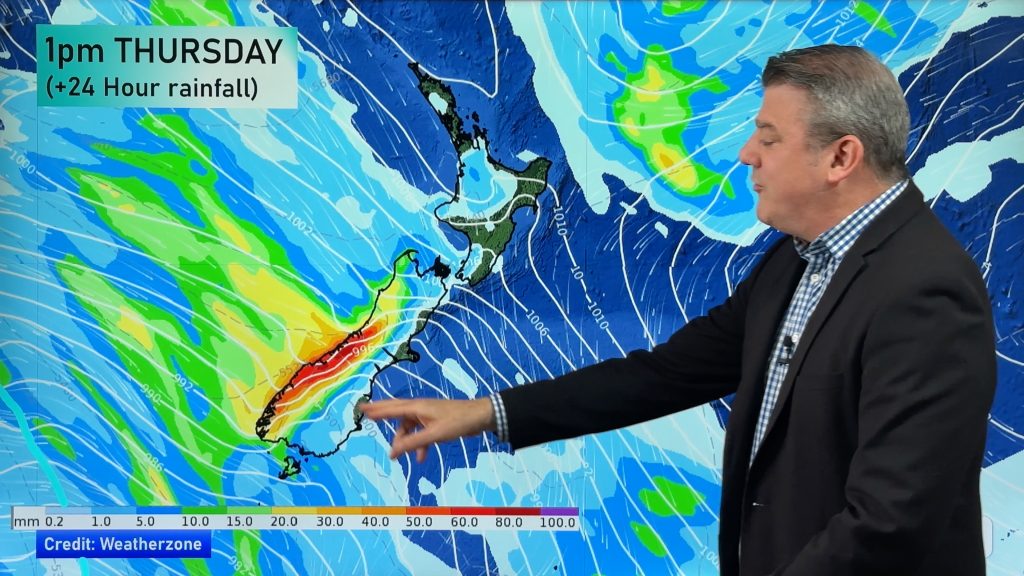
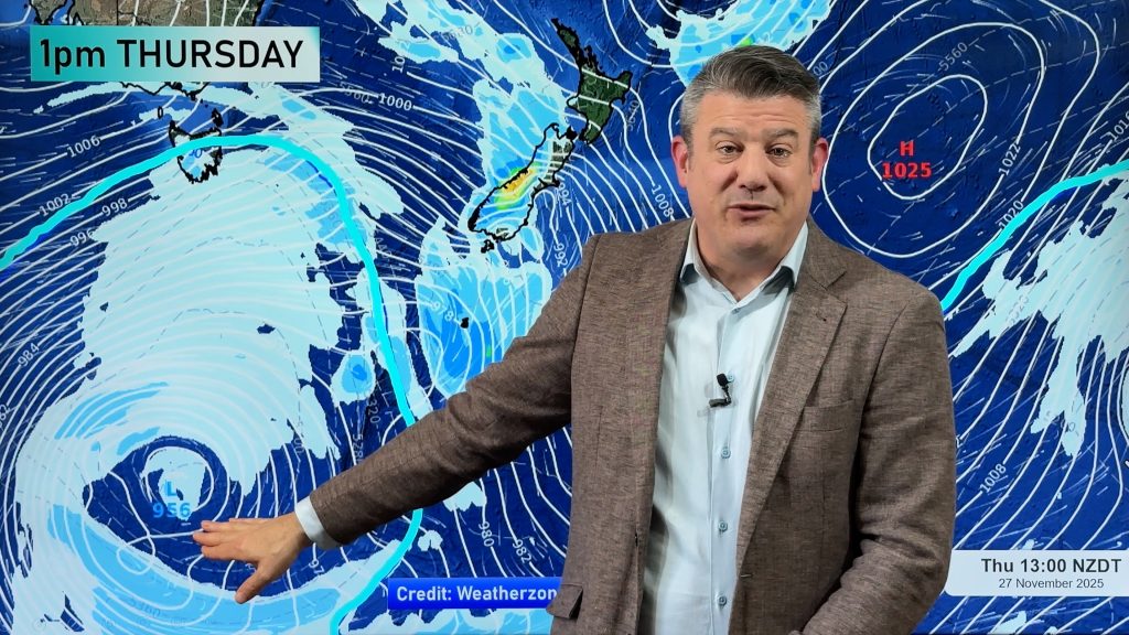
But it’s not all calm and warm. “With nearly 3 months behind us since the longest day the winter weather is gradually heading northwards towards us. Very deep lows are inching closer to the country from the Southern Ocean so Southland will be a windy and showery place this week. Stewart Island may well see gusts of 120km/h at times”.
Strong winds across Canterbury are expected to return “off and on” this week, with similar conditions in Wellington.
“With the exception of Southland, the entire country will be dry and warmer this week. It could be at least 10 to 14 days before we see significant rain bearing fronts”.
Comments
Before you add a new comment, take note this story was published on 9 Mar 2008.


Add new comment