> From the WeatherWatch archives
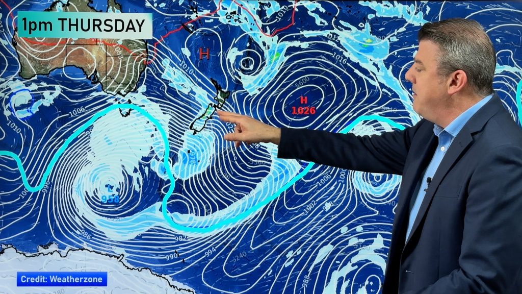
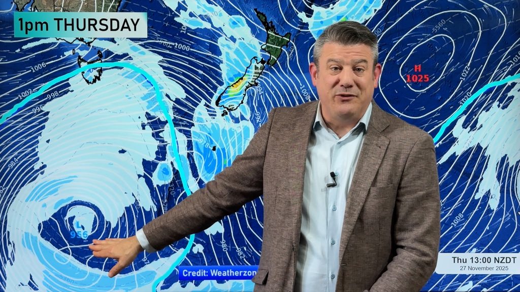
A significant change in weather for New Zealand is on the way with the latest southerly blast about to make the news. The Radio Network’s head weather analyst Philip Duncan says snow is on the way, along with near zero wind chills. “This southerly will arrive in Southland Wednesday night and inch up the South Island during Thursday. Snow is likely to quite low levels with sleet possibly reaching sea level”.
Duncan says the cold snap will see a drop in day time highs for all of New Zealand for the next several days. “Plenty of cold air is about to blast out of Antarctica, this will see cold south easterlies right over New Zealand”.
“This difference with this southern storm is that the wind will be from the south east. This direction favours heavier snow falls for Otago and Canterbury as it comes straight off the ocean. Snow is likely to affect Central Otago and high country roads and drivers in these areas should be aware of the latest road conditions before setting out”.
Wind chills are expected to plummet during Thursday and Friday in the South with many places south of Christchurch feeling more like 1 or 2 degrees in the wind.
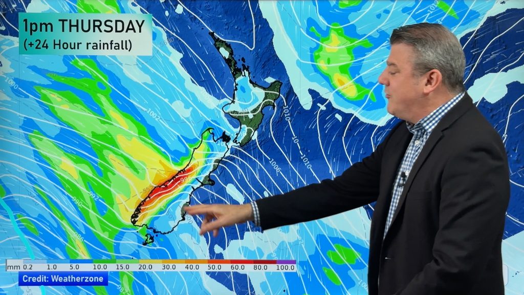
Heavy rain ahead of the front could also help boost hydro lake levels and deliver much needed rain to the few remaining dry farms.
On Saturday it will be the North Island’s turn, following a wet Friday thanks to a low in the north Tasman Sea. “By Sunday the whole country will be shivering with a cold a south easterly flow. Day time highs might only reach 13 or 14 in Auckland and Coromandel”.
Comments
Before you add a new comment, take note this story was published on 20 May 2008.


Add new comment