> From the WeatherWatch archives
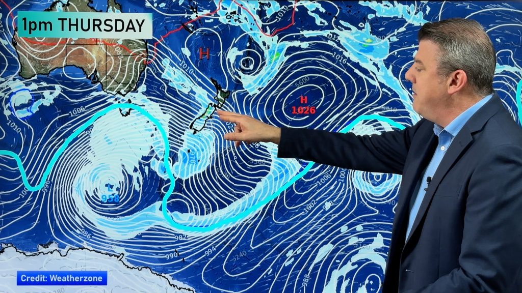
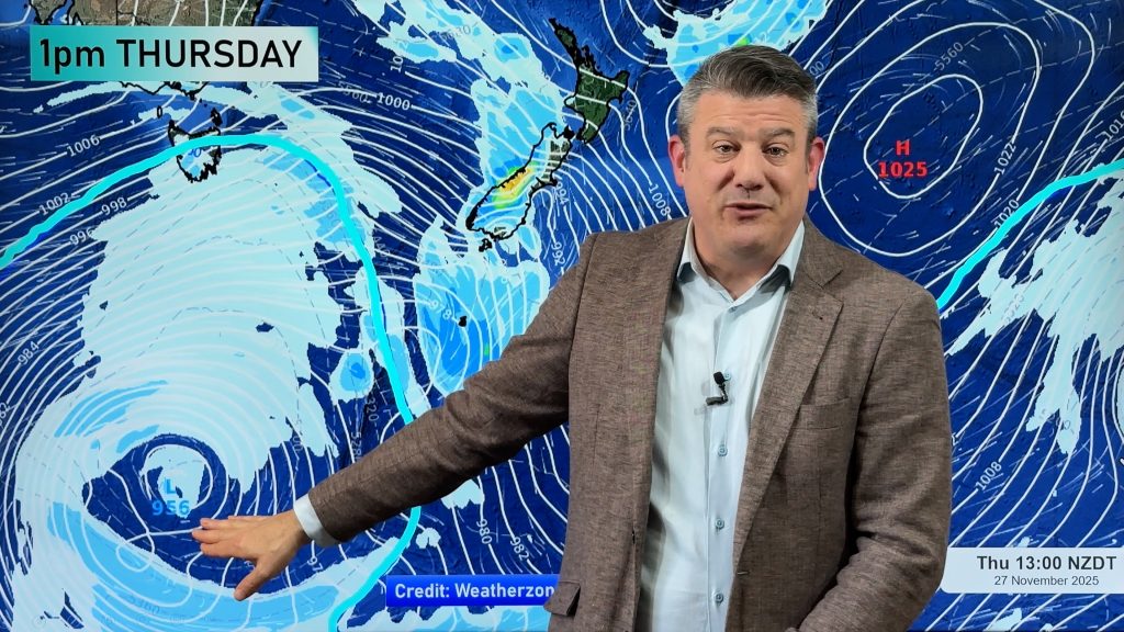
 Conditions look set to be “all over the place” this week as yet another spring storm moves in.
Head weather analyst Philip Duncan says we’ll get a taste of everything this week. “Spring has finally woken up after sleeping in for several weeks! We have gales, high temperatures, snow and single digit temperatures all in the mix”.
Strong winds blow rain across Wellington during Saturday’s spring storm. The severe gales damaged buildings and power lines. Photo by Sally Eyre. Send us your spring photos.
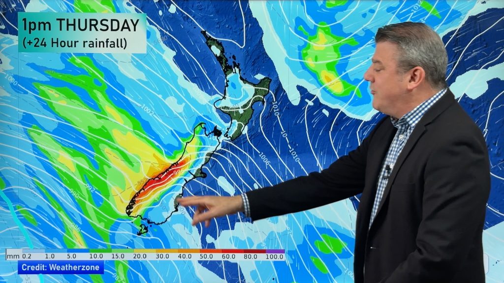
A strong nor’wester will build over the South Island today strengthening as it heads north reaching Hawkes Bay tomorrow. “It’s usually November that we start to see storms like this pushing temperatures into the 30 degree range for eastern areas”. Mr Duncan says highs in the mid to late 20s are expected tomorrow in a number of eastern regions.
The winds are likely to reach gale force tomorrow in all the same areas that had gales on Saturday with Wellington and Wairarapa especially exposed later on Tuesday. Winds won’t be gale force in Auckland but are still likely to pack a punch during Wednesday.
And by Wednesday a bitterly cold southerly will move into Southland and Otago dropping temperatures to mostly single digits for the rest of the week. “Snow is again likely to relatively low levels with hail to sea level”.
Mr Duncan says conditions should be windy but gradually improving for Guy Fawkes celebrations on Wednesday.
THIS WEEK:
- Don’t miss our detailed Guy Fawkes weather forecast on Wednesday morning.
- PLUS – How will the weather affect the results of our Election on Saturday? Which forecast spells good news for one party and bad news for another? Find out in our Wednesday special report.
Comments
Before you add a new comment, take note this story was published on 2 Nov 2008.


Add new comment