> From the WeatherWatch archives
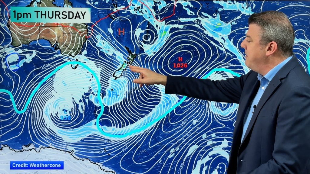
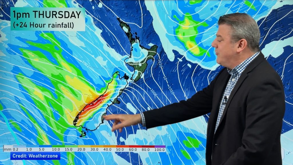
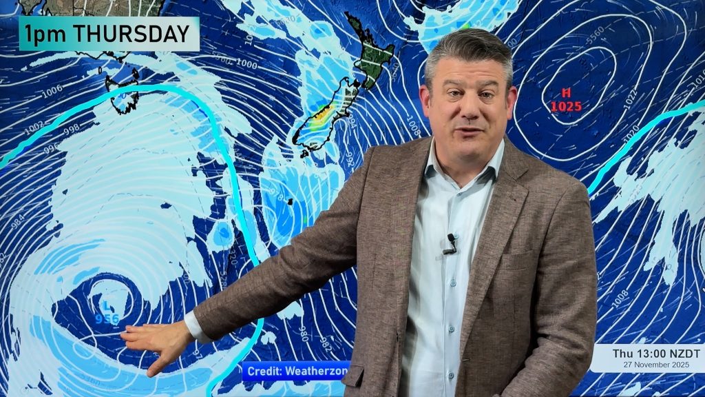
Several days of clear skies will either be over or coming to end today and tomorrow as a deep low in the Tasman Sea moves its way in. The very large high that has covered New Zealand for a week will slide off to the east over the next 48 hours. Isolated light showers are moving down over northern New Zealand today and due to the slow departure of the high that is expected to be the status quo over the next few days.
“Central New Zealand, from Marlborough to Wanganui, Taranaki and Hawkes Bay will be the sunniest and warmest places this week, but even by tomorrow the clouds will be rolling in” says Head Weather Analyst Philip Duncan. “It’s going to be a cold week in Dunedin and Invercargill, with daytime highs hovering in the very low double digits and dropping to single digits by the weeks end”.
And Duncan says the cold snap later this week will see snow across both islands. “It’s still early days but we’re expecting sleet or maybe even snow in Queenstown, with flurries to similar levels across Otago and snow across Central Plateau and the Hawkes Bay ranges during the weekend”. Duncan says it will definitely take another couple degrees off the average daytime highs for the next 10 days right across the country.
Comments
Before you add a new comment, take note this story was published on 18 May 2008.


Add new comment