Friday’s weather headlines (x3): Watches are out, what’s in store with Dovi, next week looking settled
10/02/2022 6:00pm

> From the WeatherWatch archives
TROPICAL CYCLONE DOVI TO OUR NORTH BUT HEADING OUR WAY
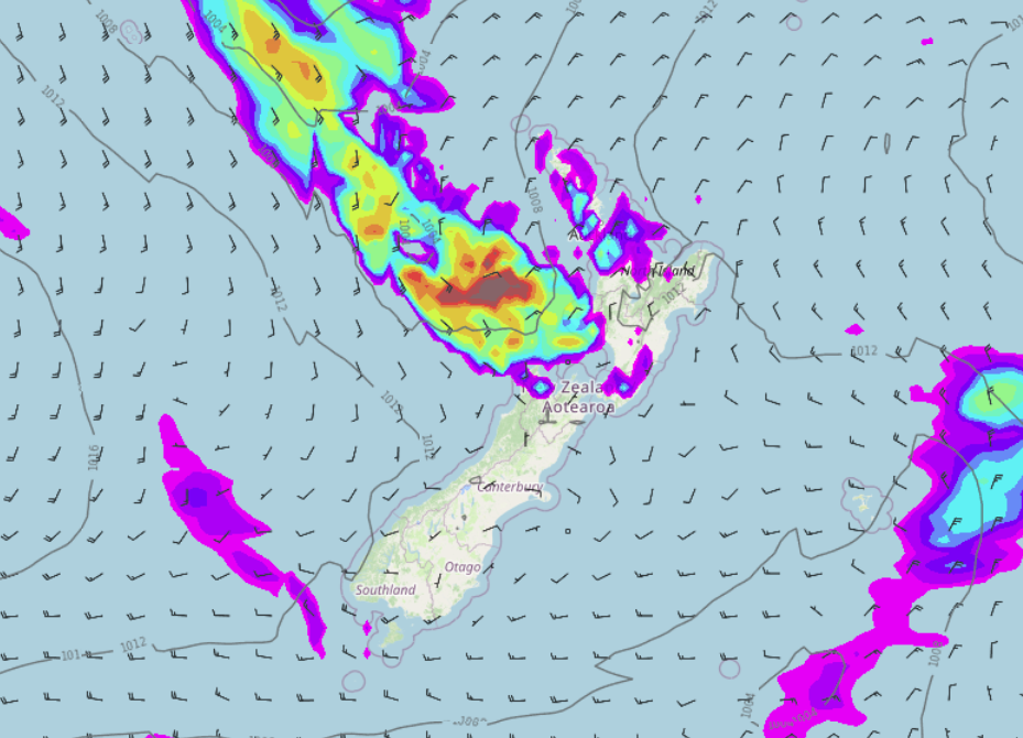
Tropical Cyclone Dovi is to our north today, it descends into the Tasman Sea tomorrow then moves over the North Island during Sunday. This will more than likely bring areas of heavy rain and strong winds as it moves through.
The heavy rain potential starts from this afternoon about the western North Island (Taranaki) before setting in over the lower North Island tonight. Areas of heavy rain will affect the lower North Island and top of the South Island on Saturday and Sunday. The strongest winds will likely be during Sunday as the main low crosses over with very strong northerly quarter winds for the upper North Island and very strong southerlies for the lower half, southerlies spread to the upper North Island in the evening.
Please keep up to date with the latest weather watches and warnings from Metservice here.

WEST COAST THE PLACE TO BE
The West Coast of the South Island is the place to be today with sun and some high cloud expected, some rain does move in north of about Karamea this afternoon though pushing in from the northwest.

NEXT WEEK MAINLY SETTLED
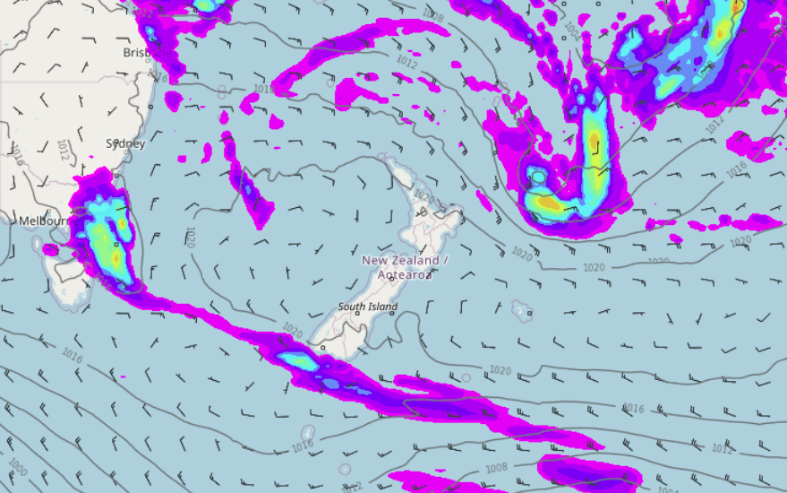
After what will be Ex Tropical Cyclone Dovi crossing New Zealand on Sunday, next week looks rather settled with high pressure pushing in on Monday as a southerly airflow eases for the North Island. This high hangs around pretty much the rest of the week. Noticeably and finally, humidity levels for all especially the upper North Island ease.

Comments
Before you add a new comment, take note this story was published on 10 Feb 2022.


Add new comment