Friday’s national forecast – Nice and settled with high pressure (+10 maps)
18/11/2021 3:00pm

> From the WeatherWatch archives
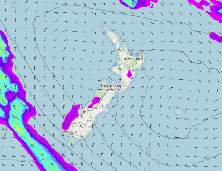
High pressure brings mainly settled weather to New Zealand today, the only risk of showers is for the West Coast and perhaps the ranges of Hawkes Bay / Gisborne this afternoon.
Please refer to your local, hourly, 10 day forecast for more details.
Northland, Auckland, Waikato & Bay Of Plenty
Mostly sunny, any morning fog patches inland clear. Light winds then afternoon sea breezes.
Highs: 21-22
Western North Island (including Central North Island)
Any early cloud (perhaps some fog inland) clears then sunny, low risk of an isolated shower late afternoon / evening about the Central Plateau. Light winds tend westerly in the afternoon.
Highs: 18-21
Eastern North Island
Any early cloud clears then sunny, low risk of an isolated shower late afternoon / evening about inland hills and ranges. Afternoon east to northeasterly winds.
Highs: 20-23
Wellington
Sunny with northerlies freshening from afternoon.
Highs: 18-20
Marlborough & Nelson
Sunny, north to northwesterly winds pick up in the afternoon.
Highs: 19-23
Canterbury
Sunny with northwesterly winds inland, northeasterlies near the coast. Northwesterlies spread through to the coast in the evening.
Highs: 20-22
West Coast
Cloudy areas and the odd shower about South Westland, spreading into North Westland in the afternoon. Northwesterly winds. Buller stays dry with a mix of sun and cloud.
Highs: 15-20
Southland & Otago
Mostly sunny with some developing high cloud, northwesterly winds for most however tending northeast for the Otago coast.
Highs: 20-22
WeatherWatch.co.nz is proud to be setting the international standard for forecasting in NZ – powered by IBM


Comments
Before you add a new comment, take note this story was published on 18 Nov 2021.


Add new comment