Friday’s national forecast – Cold front moves northwards
29/12/2022 3:04pm

> From the WeatherWatch archives
A cold front pushes up over the South Island this morning then up the east coast of the North Island this afternoon and evening, a high in the Tasman Sea then follows in behind.
North Island
Southerlies strengthen about the lower North Island this morning with cloud thickening, a few light showers move into Wellington and Wairarapa. Cloud thickens up into Hawkes Bay and Gisborne this afternoon with a few showers moving in there as southerlies spread northwards. The upper North Island has a mostly sunny day with gentle southwesterlies, winds eventually change east to southeast later this evening. Southeasterlies strengthen in the southwest around midday (Taranaki through to Kapiti) with gales developing about coastal parts, some cloud too but staying mainly dry.
South Island
Early rain eases to showers about the far south, clearing this afternoon with sunny areas breaking through. Canterbury has cool southerlies today with showers, clearing this evening. A few showers about South Westland this morning then breaking to sun, North Westland has some high cloud that breaks away. Nelson and Marlborough has sun plus some high cloud, lower level cloud starts to thicken up later this afternoon, a few showers from late afternoon for Tasman and Buller. South to southeasterly winds becoming strong this afternoon about coastal Marlborough and the Sounds, afternoon northerlies for Nelson.

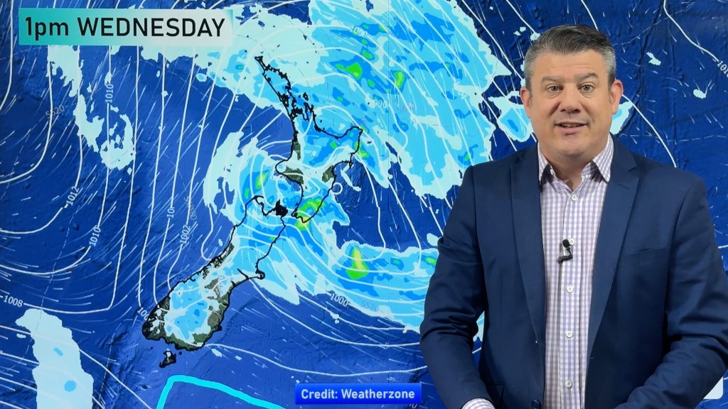
MSLP / Rain map – Fri 30th Dec 2022 4:00pm – Weatherzone.com.au 
Comments
Before you add a new comment, take note this story was published on 29 Dec 2022.


Add new comment