> From the WeatherWatch archives

About 50cm heavy snow around Aoraki Mount Cook Village 15-Aug-08. Photo by Grant Pearson. Grant says there was much more dry snow up in the mountains with strong winds -which means extreme avalanche warning.
I thought seeing as there’s a lot of severe weather around the country tonight I’d just write a quick update on the current situation.
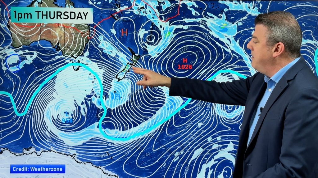
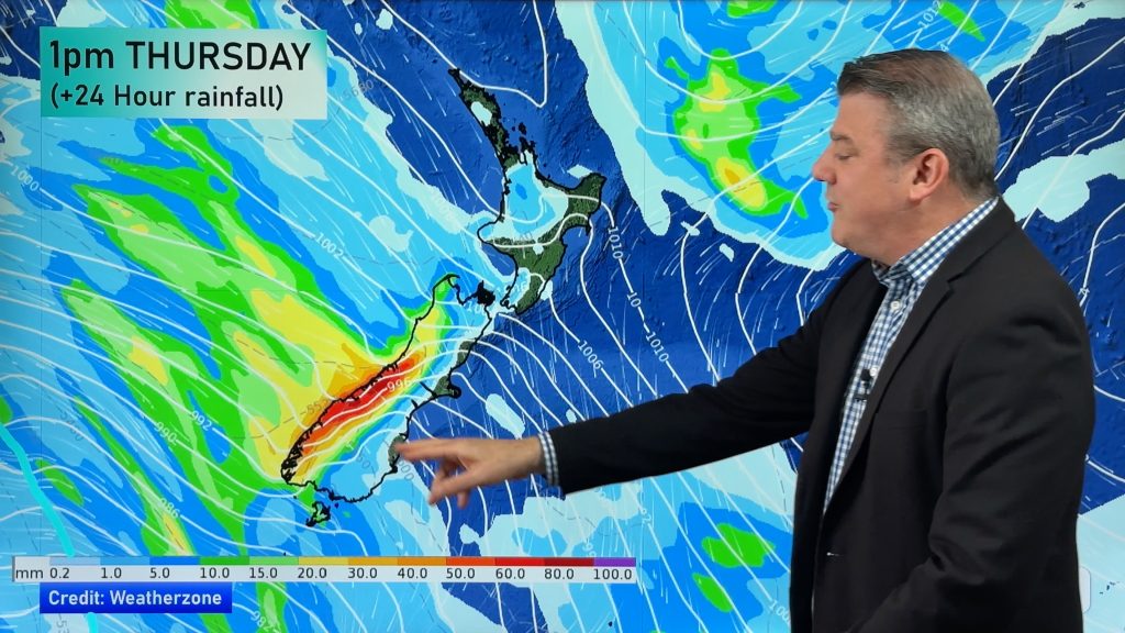
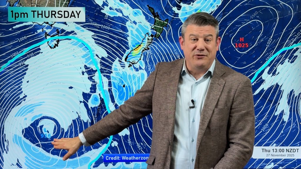
The storm currently has three centres (three lows to make one big low). The most active low still lies to the west of Greymouth and is pumping out some pretty big rain clouds – of course they’re turning to snow clouds over the Southern Alps. The west coast of both islands will see heavy showers all night and during tomorrow – but they’ll be spaced apart. Central parts of the North Island (Desert Road) will see more snow tonight, during Saturday and even Sunday.
Along the east coast of both islands, conditions should be generally dry but still pretty windy.
The 2nd low is lying out to sea south east of Dunedin. That’s going to to drive in showers and snow flurries tonight for some parts of Southland and coastal Otago.
The third low is a weaker one lying in the Southern Ocean…it will drift into the central Tasman Sea tomorrow but will slowly ‘fill in’. It’ll create just enough energy, however, to continue those showers in western parts of New Zealand.
A cold southerly or south easterly will form on Sunday (when lows 1 & 2 combine south east of the South Island)…that’ll bring wet weather to Canterbury – but we’re not expecting too much of the wet stuff. By Sunday night/Monday morning there is a moderate chance of some light snow flurries – possibly down to near sea level. We’ll have more details tomorrow.
Enjoy your night.
Philip Duncan
Comments
Before you add a new comment, take note this story was published on 15 Aug 2008.


Add new comment
JohnGaul on 15/08/2008 12:00pm
Canterbury seems to be in the shelter of the current large trough over the country.
Will be interesting to see what wew get on the ‘back-burner’ of this system.
JohnGaul
NZTS
Reply