For most of NZ, it’s much warmer than it should be right now, Australia too (+8 Maps)
26/10/2021 11:26pm

> From the WeatherWatch archives
Inland parts of the South Island are over 8 degrees above normal by day while overnight lows in Auckland are in the low, even mid, teens. The warmer than usual run of weather is being caused by a sub-tropical or northerly flow, which is spreading down over the North Island and some parts of the South Island.
While some coastal areas do have a cooler sea breeze, many places inland are warmer than usual.
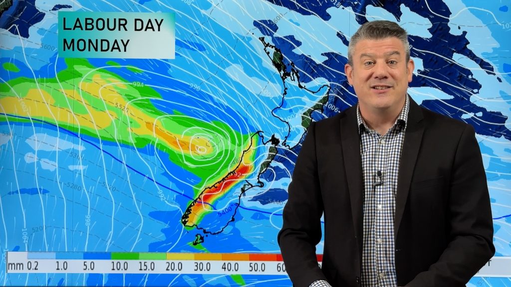
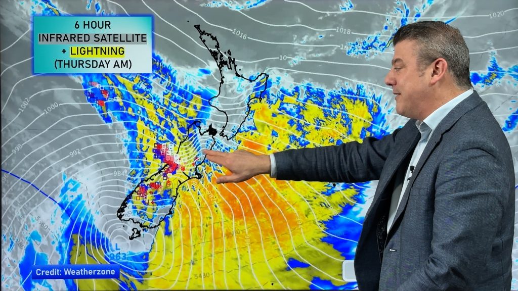
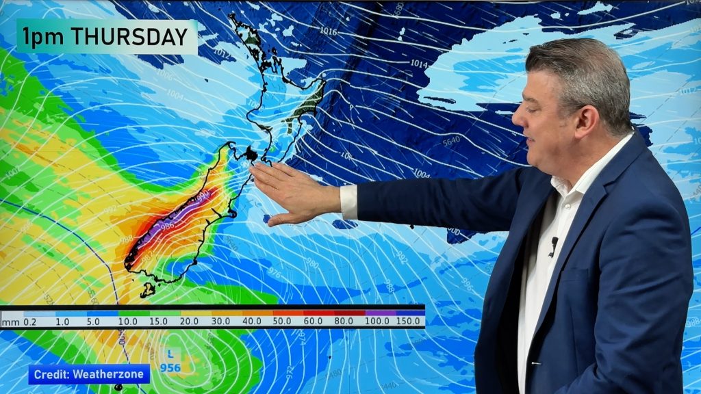
The mild run of weather continues on this week even as a low in the Tasman Sea moves through – then falls apart.
The next pulse of colder air is this weekend, with Invercargill shifting from a high of 21C on Saturday to just 11C on Sunday. Alexandra goes from a high of +22C on Friday to +14C by Sunday. For many, the cooler Sunday/Monday change will only reset temperatures back to normal for this time of year.
AUSTRALIA
Aussie is split down the middle at the moment with a warmer than average northerly flow on the eastern side and a much cooler southerly flow on the western side. Perth has a high of only 17C today whereas Adelaide may reach 30C.
Friday and Saturday will see a big cool down move into south eastern Australia – and as far north as Sydney. Sydney’s high on Friday is +31 to 33C, but by Saturday it will be down to highs of 18 to 22 across the city.
Melbourne also has a cold change coming, with a maximum of 26C on Thursday but a high of only 16C for Friday and Saturday.
Spring temperature ups and downs continue into early November too, for both New Zealand and the southern half of Australia – although some settling high pressure may bring in more consistent temperatures for a time.
To drill down deeper in NZ please see the Temperature Tab at www.RuralWeather.co.nz


Comments
Before you add a new comment, take note this story was published on 26 Oct 2021.


Add new comment