> From the WeatherWatch archives
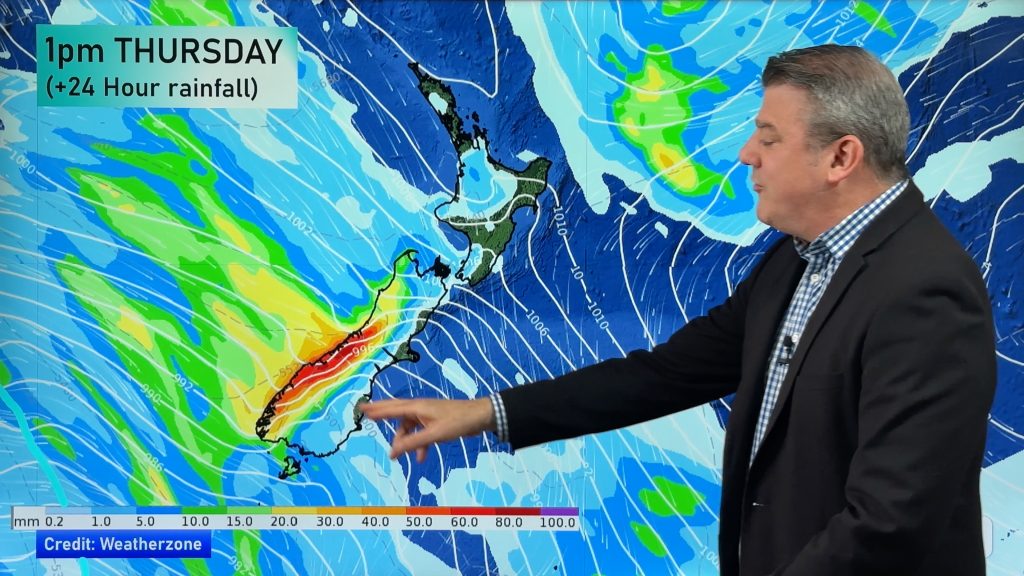
Updated 8:32am — A small area of heavy rain is this morning moving into Marlborough with patchy rain and showers also moving into North Canterbury.
Apart from a few showers in Gisborne, Hawkes and Wairarapa conditions are mostly dry – and should stay that way for much of today.
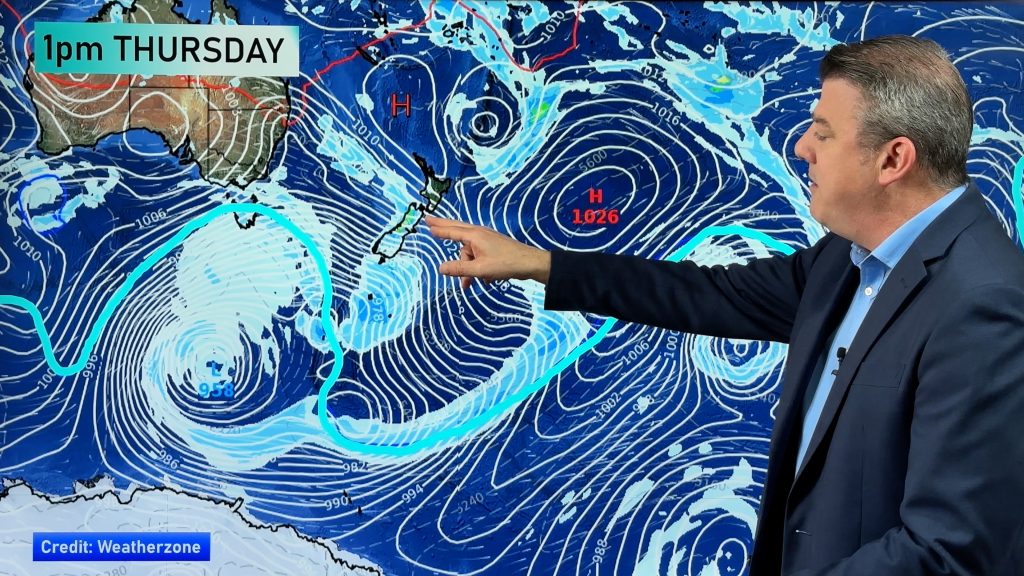
Rain clouds on Thursday look focused on eastern central NZ…north of Christchurch and south of Masterton.
View photos of the flooding in Gisborne sent into WeatherWatch.co.nz today
Why the heavy rain in the east:
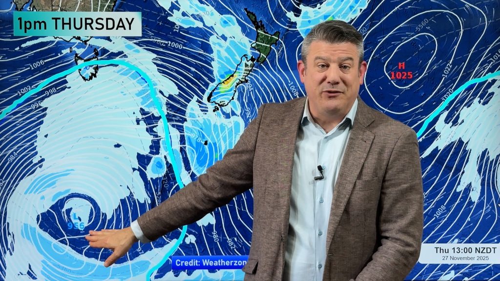
A week ago WeatherWatch.co.nz first mentioned a “5 day low coming to NZ”. We revised that to a “4 day low”later in the week…lasting from the Sunday that just passed, until late this Wednesday. That is still the set up…with the low leaving around Thursday, but the wet easterlies continuing on for a bit longer.
Heavy rain to return to North Island:
Hawkes Bay and Gisborne should be mainly dry for a time overnight and across Tuesday – but rain does return later on Tuesday and is expected to become heavier – blown into the ranges by a developing easterly flow.
Rain likely sets back in again late Tuesday or overnight into Wednesday for Wairarapa and possibly Hawkes Bay – Gisborne looks drier.
Flood potential shifts – in other words, we don’t expect the same rivers to flood as Monday. This time it looks like Wairarapa and southern/central Hawkes Bay may be more exposed to heavy rain. Again, like Monday, this is at the lower end of the scale for eastern flood events – but still definitely a developing situation and one to monitor.
On Thursday rain may still be heavy along the eastern ranges – but only in isolated areas, not widespread across entire regions. Conditions ease somewhat on Friday.
WeatherWatch.co.nz says the heaviest rain is moving southwards along our eastern coastline…but will drift back northwards today and tomorrow as the low pulls away to NZ’s east.
Another Low coming?
Another low is coming this weekend – but it may not linger. The next low may simply “skim” past northern NZ this Friday and Saturday, bringing some rain, but not lingering. We’ll keep you posted.
– WeatherWatch.co.nz
Comments
Before you add a new comment, take note this story was published on 21 Sep 2015.


Add new comment
Guest on 21/09/2015 6:25am
Will Napier see set in rain on Wednesday and will there be heavy falls?
Reply
WW Forecast Team on 21/09/2015 6:27am
Hi there, yes at this stage that is possible. It’s a developing situation as the low itself is not only changing shape in the middle, but while the low is generally stalled it is also moving around enough to move the rain band. So it’s shifting around over the next day or two – but looks set to return later tomorrow or Wednesday. Because it’s a bit complicated we’ll provide another update Tuesday AM with the latest for eastern areas.
Cheers
WW Team
Reply