Did you know this existed between NZ and Australia? ExCyclone Uesi is aiming for it
13/02/2020 2:48pm

> From the WeatherWatch archives
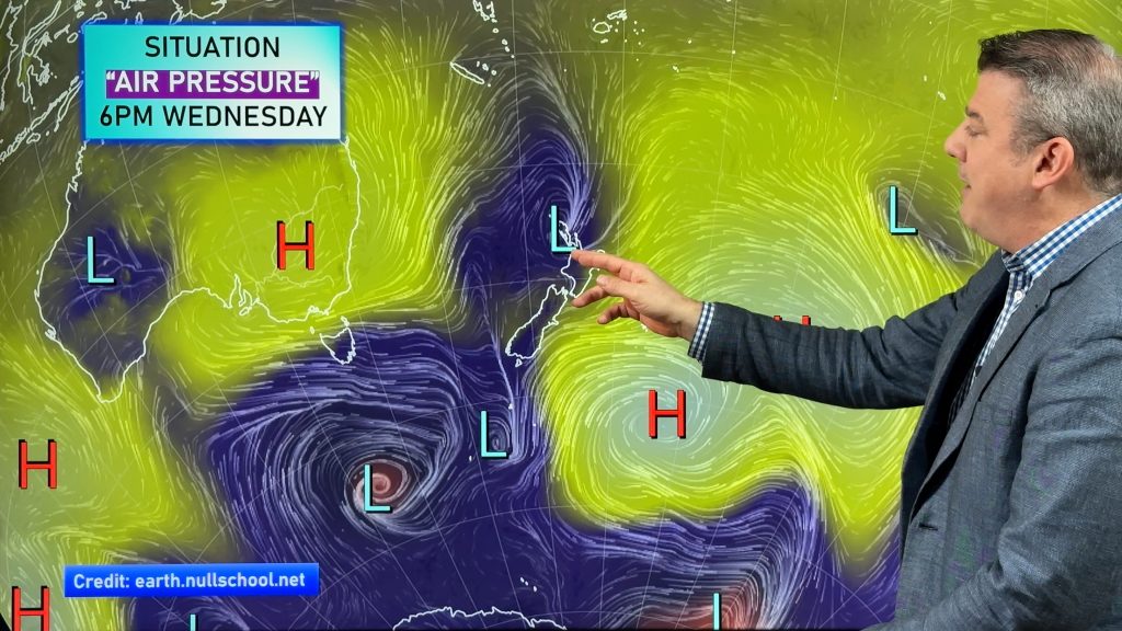
You may have seen Lord Howe Island on the weather maps in the Tasman Sea situated between Brisbane and Auckland (more on the Aussie side) but many people may not realise it’s quite a significant spot.
The tallest peak is fairly close to a kilometre high at 875 metres, it’s home to around 400 people and tourists are capped at 400 at any given time on the island because of it’s small size and historical importance.
In fact UNESCO records Lord Howe Island as a World Heritage Site of global natural significance and much of the island contains virtually untouched forest – many of the plants and animals are found nowhere else in the world.
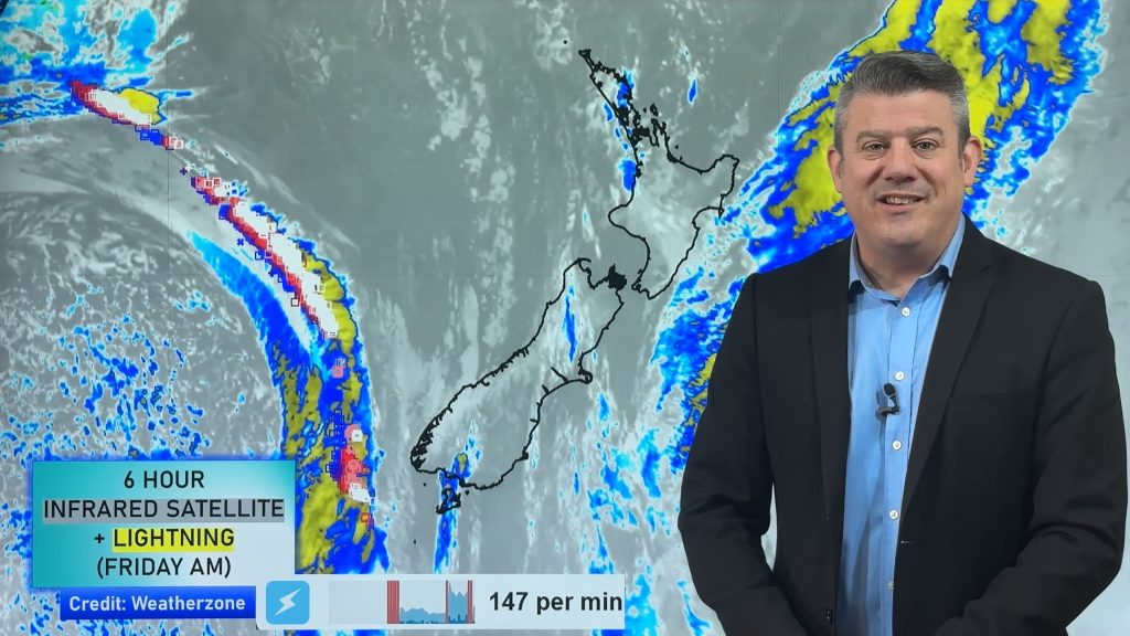
Ex-Cyclone Uesi is taking direct aim on the small island group and will be undergoing extra-tropical transformation as that happens – or put simply, it goes from being a tropical fueled storm to a colder air fuelled storm. All tropical storms go through this process as they drop south and while it does affect the look and structure of a cyclone it often can enhance the energy in a storm, not kill it off.
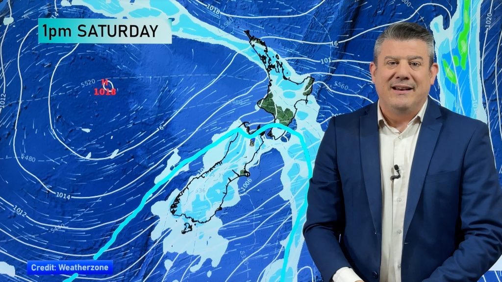
As of Friday morning Ex-Cyclone Uesi was tracking directly over Lord Howe Island. The storm could bring damaging winds and flooding rains to the Australian island today. No other parts of Australia are expected to get a direct hit from Uesi. Next stop after this appears to be the South Island of New Zealand.
 – Image of Lord Howe island courtesy CNN
– WeatherWatch.co.nz
Comments
Before you add a new comment, take note this story was published on 13 Feb 2020.


Add new comment