> From the WeatherWatch archives
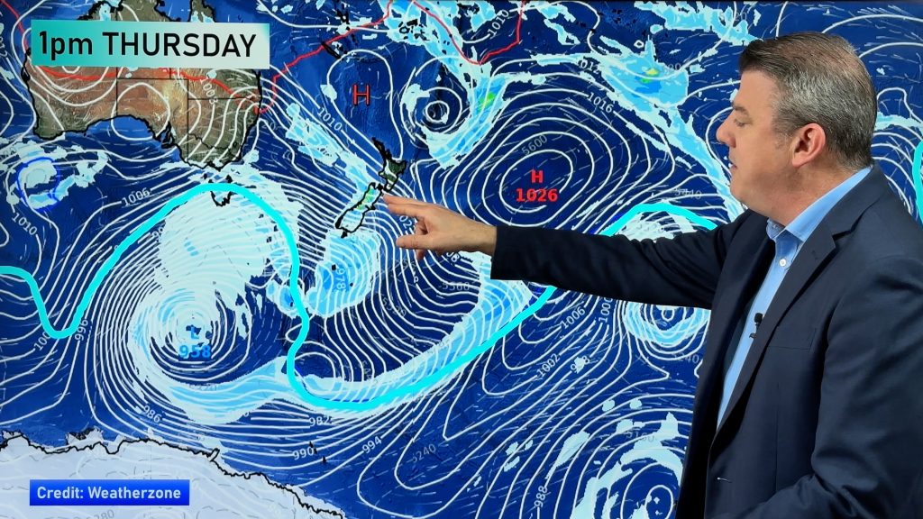
A blast of cold air from the Southern Ocean is set to cross the South Island Tuesday, with plummeting temperatures and snow to low levels. The Radio Network’s head weather analyst Philip Duncan says oddly it’s an anticyclone that’s partially to blame. “There’s a very large high pressure system moving in from Tasmania with air pressure up to 1042 hector pascals which is typical of a high in the middle of summer. That means there’s a huge gradient between the centre of the high and the low in the Southern Ocean. It’s these strong winds that will pull up the cold southern air”.
Duncan says Farmers should be on alert but not to be too worried. “The first cold front will arrive overnight in the far south, with another front bringing colder air on Tuesday afternoon. While snow may fall to only a few hundred metres it isn’t likely to be too heavy and should also be quite short lived, clearing on Wednesday”.
He warns sleet and hail could affect roads around Dunedin and Central Otago between noon Tuesday and noon Wednesday.
The Tasmanian high will move over the South Island later in the week which means a return to frosty, clear weather.
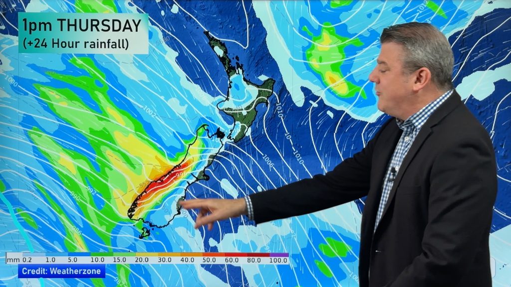
Meanwhile the North Island should have a cloudy week with plenty of showers and possibly the development of a low in the northern Tasman on Thursday bringing in more wet windy weather for the north.
Comments
Before you add a new comment, take note this story was published on 2 Sep 2007.


Add new comment