> From the WeatherWatch archives
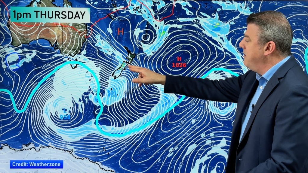
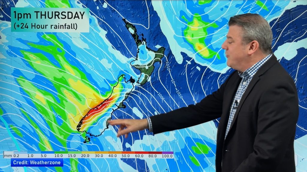
Fears of a big cold snap are starting to ease today as a large high over Tasmania slips south, blocking the path of cold Antarctic air. “The South Island will still receive snow to low levels with Canterbury and Otago most exposed, but the fears of bitterly cold winds are now easing for the rest of New Zealand” says head weather analyst Philip Duncan.
“The low north of New Zealand is also helping fuel warming conditions over the North Island with easterlies and showers, rather than southerlies and rain, now in the forecast for most”.
Duncan says the problem with Autumn forecasts is that they are very unpredictable. “With slow highs still lingering from Summer and aggressive lows being fired up from the darkness over Antarctica it can make for some very changeable weather patterns. A small strengthening of a high in the south, and the slight deepening of a low in the north have significant changed New Zealand’s forecast over the next 72 hours”.
However cooler weather is still on the way. “Cold southerlies are still expected to bring a cooling of daytime highs for much of the nation by Sunday or Monday”.
And Duncan says windchills in the far south are currently near freezing. “As predicted yesterday by the Weather Watch Centre the ‘feels like’ temperature Southland and Otago is near freezing. Invercargill, Gore, Dunedin and Queenstown are the coldest main centres in the country today”.
Comments
Before you add a new comment, take note this story was published on 21 May 2008.


Add new comment