Cold front with heavy rain moving up NZ forecast to weaken over North Island (+4 Maps)
27/03/2018 12:53am

> From the WeatherWatch archives
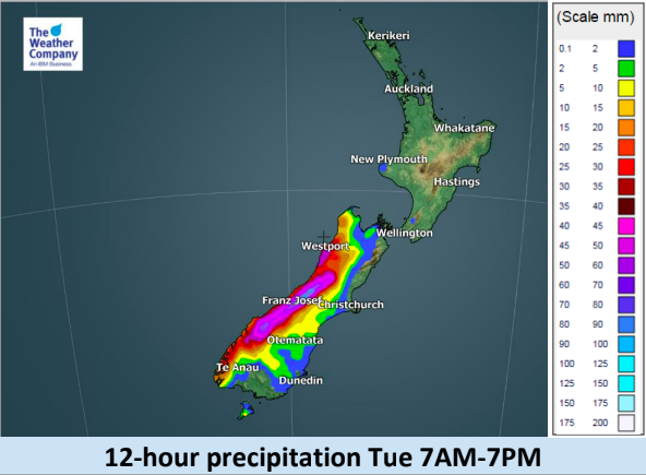
A cold front is slowly grinding up the West Coast on Tuesday bringing heavy rain and blustery winds. A low pressure system in the Southern Ocean is generating the front while higher pressure in the north and east is slowing its movement northwards.
Tonight and into Wednesday this front moves into the the North Island and starts to decay.
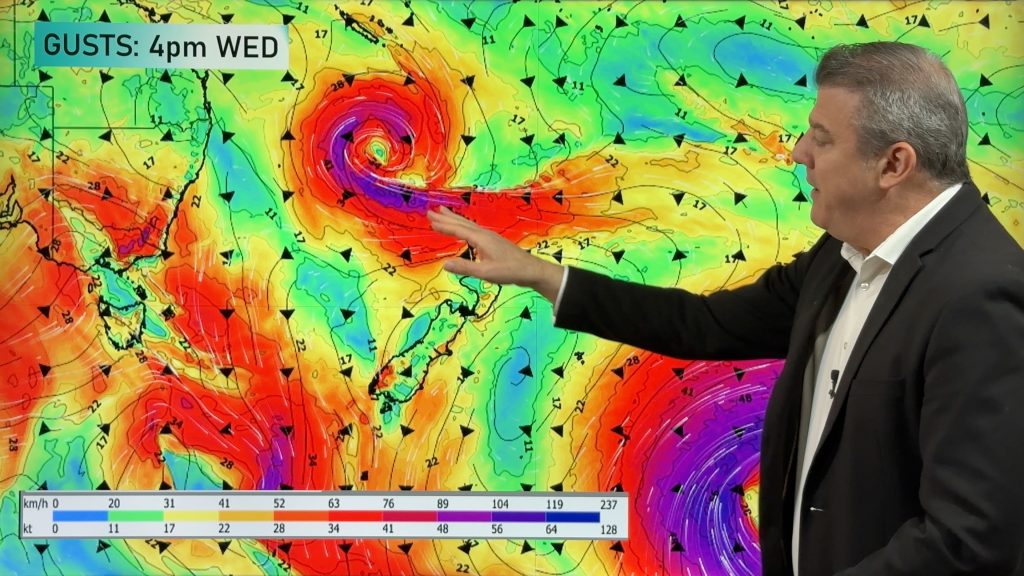
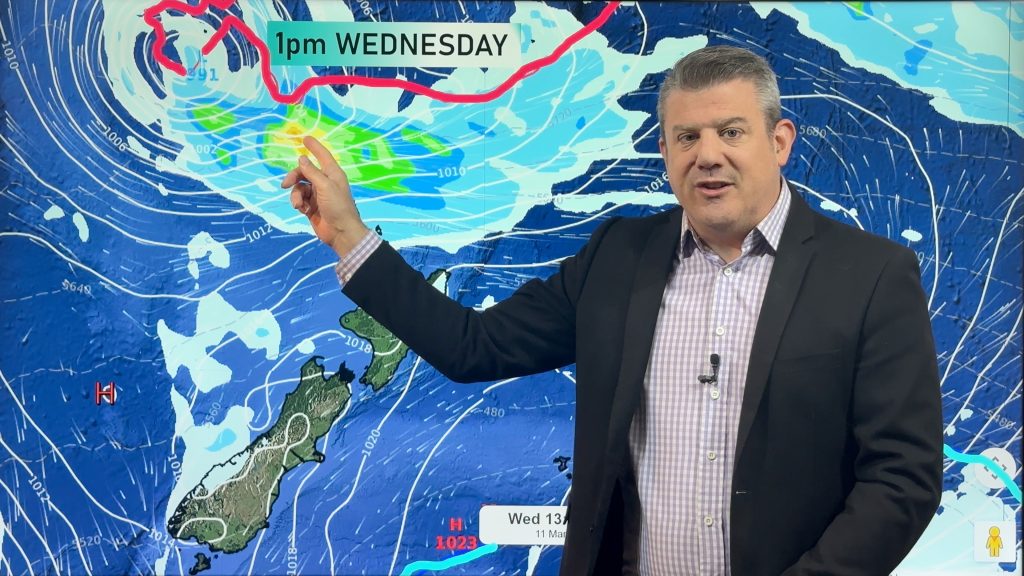
As you can see from the infographics below the front loses a lot of energy as it climbs northwards into the lower half and western side of the North Island over Wednesday. There may be a few localised flare ups that continue into Thursday but overall it’s falling apart.
The front is falling apart due to high pressure building around New Zealand and the low in the Southern Ocean that generated the front is also moving away from the country, detaching itself from the front which basically cuts off the energy for it.
The front should fade out to the north east of NZ on Good Friday morning.


– WeatherWatch.co.nz
Comments
Before you add a new comment, take note this story was published on 27 Mar 2018.


Add new comment