ClimateWatch: DECEMBER outlook looks like a warmer extension of spring (+13 Maps & Video)
5/12/2024 4:45am

> From the WeatherWatch archives
Originally published Dec 2 — Summer heat and dry is increasing over NZ’s North Island and upper eastern half of the South Island – but spring westerly gales and West Coast rain look set to continue over December.
There is still no La Niña and no signs of any major changes to our north – although a few weaker areas of low pressure are starting to bubble up north of NZ now that we’re officially in the wet/cyclone season, but for now high pressure is stopping any tropical-connected systems from coming down to us.
Lows and storms circling Antarctica still dominate much of our weather – and still have the power of winter and early spring. In fact low air pressure in the coming weeks southwards from NZ will be as low as 950 to 970 hPa. Meanwhile high pressure zones closer to NZ and north of us will help drag in hotter airflows. Between these northern highs and southern lows it continues to place NZ into a spring-like westerly ‘squash zone’ at times this month. Welcome to “Sprummer“! Certainly December’s first 10 days will be like this.
NZ’s NEUTRAL pattern carries on – ie no La Niña and no El Niño. Other NZ forecasters and all of NZ’s mainstream news outlets have frequently headlined La Niña right across this entire year and still continue to do so despite zero change to NZ’s weather – or an official La Niña even being declared. It might happen over summer – but even then it’s looking remarkably short lived and patchy … and two of the three previous La Niña events did the opposite to what NIWA forecast for NZ, bringing drought instead of floods. Put short – NZ just does not have enough historical weather data to fully understand the connection between the tropics and New Zealand – made worse by NIWA agency blocking that public data to be openly used by others to help you. (Fingers crossed the new NIWA/MetService merger next year will finally bring New Zealand into the modern world with true “open data”).
The Australia Government’s public agency Bureau of Meteorology (BoM) continues to downplay La Niña, very different to the NZ Government’s commercial agency NIWA which has hyped it all year.
“The El Niño–Southern Oscillation (ENSO) remains neutral, with sea surface temperatures (SSTs) in the central equatorial Pacific Ocean at ENSO-neutral levels. Atmospheric indices, such as those related to patterns of surface pressure, cloud and trade winds, are broadly consistent with an ENSO-neutral state. While some have displayed La Niña-like signals over recent months, a consistent and sustained shift in the atmosphere has not been observed. Ocean temperatures in the central equatorial Pacific have started to warm in recent weeks, away from the La Niña threshold, although they are still cooler than the historical average” says the BoM statement issued in November’s final week.
“The Bureau’s model suggests Sea Surface Temperatures (SSTs) are likely to remain within the ENSO-neutral thresholds (−0.8 °C to +0.8 °C) throughout the forecast period to February 2025. Of the 6 other climate models surveyed, 2 models suggest SSTs in the tropical Pacific are likely to exceed the La Niña threshold (below −0.8 °C) throughout December to February, which is sufficient time to be classified as a La Niña event – though this would be considered a very short-lived event compared to the historical record. All models forecast neutral ENSO values by March” says BoM.
Long range forecasts for NZ (ie beyond 4 weeks) are notoriously inaccurate. WeatherWatch’s general feeling is that the neutral pattern we’ve been in over winter and spring will carry on through December bringing a mix of summer and spring weather patterns into NZ and as with ANY summer season there is always that risk of a tropical or sub-tropical ‘wild card’ that could drop south and bring rain relief (or ruin your camping!).
This “neutral” pattern in 2024 brought a winter dominated by both large highs and large rainmaking lows and a spring that was most classic in a decade or two – indicating summer may have variety too. “Variety” is a good word for most farmers and growers – but for holidaymakers it can be an unpredictable pain in the neck, especially if you’re in a tent or awning.
Historically January usually sees those westerlies ease over NZ – that may give us our best chance at any pattern shift.
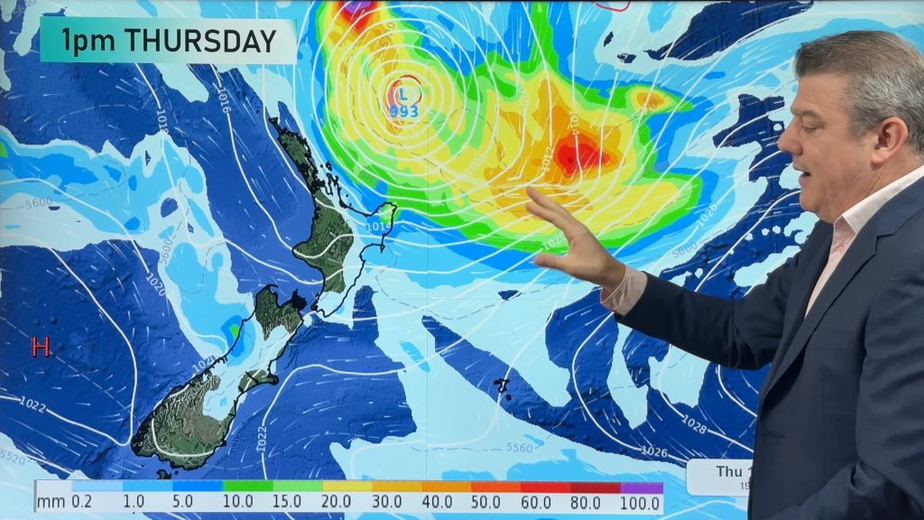
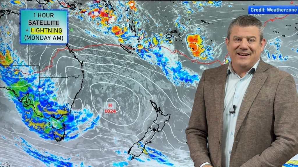
To make more sense of the maps below, please watch our latest ClimateWatch VIDEO which breaks them all down and explains them.
Our next update will be a special two-week ClimateWatch outlook issued by us on New Year’s Eve/Dec 31. Our next main monthly outlook will be at the end of January.
Have a great summer!


Comments
Before you add a new comment, take note this story was published on 5 Dec 2024.


Add new comment
Christopher Randal on 3/12/2024 5:53am
Have you considered showing the influence of the jetstreams in the climate watch?
Reply