Calm start to week, then windy hot NW winds ahead of likely Labour Weekend low (+5 Maps)
20/10/2024 10:34pm

> From the WeatherWatch archives
A slightly cooler change moves into the lower South Island on Monday while high pressure dominates elsewhere, but the high slips away mid week with windier westerlies kicking in – ahead of a potenial large low pressure zone for the upcoming long weekend.
Let’s get into the forecast for Monday to begin with…
RAIN:
A few showers move into the lower South Island today, mostly around Southland, Otago, Fiordland and maybe a few parts of Canterbury too. Dry elsewhere under stronger high pressure.
WIND:
Winds are fairly light and variable around much of the country today with more of a southerly flow in the lower South Island.
TEMPERATURES:
Temperatures drop a few degrees in the lower South Island but the rest of the country is mild to warm today especially through sunny inland areas.
WEEK AHEAD & LABOUR WEEKEND
On Tuesday most places are fairly settled with high pressure nearby, but cloud and a few showers are likely in both main islands despite much of the country dry.
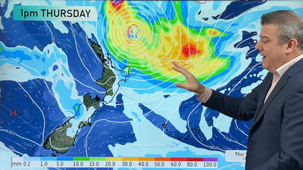
On Wednesday high pressure is centred to the north of the country while a storm tracks south of NZ over the South Ocean. Between the two systems the spring-like windy westerlies return piling up heavy rain in the southern half of the West Coast along with strong to gale force – and maybe severe gale force westerlies around the Southern Alps. Sub-tropical winds will make many regions warmer than average with dry weather across the rest of NZ under westerlies. Temperatures in Canterbury and Marlborough may reach the mid to upper 20s on Wednesday.
On Thursday that heavy West Coast rain continues and moves further northwards, strong to severe gale west to north-west winds blow through the upper South Island and lower North Island. Dry in most other regions but a few showers in Southland. The windy weather may see places like Hawkes Bay reaching the mid to upper 20s and many other places in the low to mid 20s.
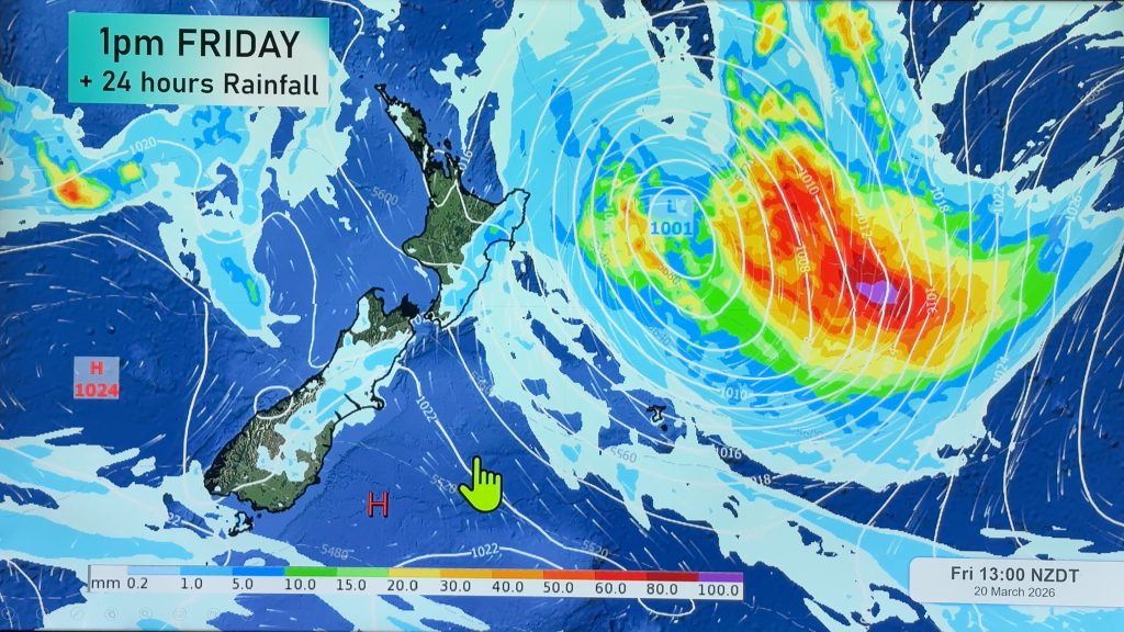
As we head into Friday and Labour Weekend a large low pressure zone is looking likely to develop and brings some severe weather risks to the nation from Friday through to Sunday. It’s not locked in who will get what – and not all regions have severe weather risks, with potentially large portions of the North Island least impacted.
We’ll have more details in today’s Monday weather video and in our updates across this week.


As always drill down deeper with your hyper-local, hourly, FREE 10 day forecasts from WeatherWatch.co.nz – or download the FREE WeatherWatch App.
Comments
Before you add a new comment, take note this story was published on 20 Oct 2024.


Add new comment