Big high rolling in, warmer than average for some + easterlies coming next week
6/06/2018 10:44pm

> From the WeatherWatch archives
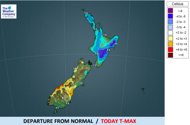
The southerly change this week has already moved through and while snow did fall lower than initially forecast it has not been a major event with some places very quickly bouncing back to normal today temperature wise.
A large high will cross the country this Friday, Saturday and Sunday then linger next week over the Chatham Islands. Next week this set up will bring easterlies to the North Island and nor’easters to the South Island. This will be milder than usual for this time of year for many places with frosts looking less likely next week for most, perhaps still occurring around Central Otago, Northern Southland and the Canterbury highlands.
Overnight lows in places like Taupo may be closer to 10 degrees next week.
Fieldays weather looks great next week in Waikato with easterlies and dry weather currently in the forecast but some data suggests a more nor’east shift could produce showers over the upper North Island. One to keep an eye on.
This weekend will be an ideal weekend to get laundry washed and dried, lawns mowed and other outdoor jobs done and dusted. There will, however, be some rain on the West Coast but most of the country looks dry or mainly dry with showers in some coastal areas in the east mainly clearing by the end of Friday.


Comments
Before you add a new comment, take note this story was published on 6 Jun 2018.


Add new comment