Australia: Snow forecast for alps this weekend now not looking so promising
15/07/2017 1:00am

> From the WeatherWatch archives
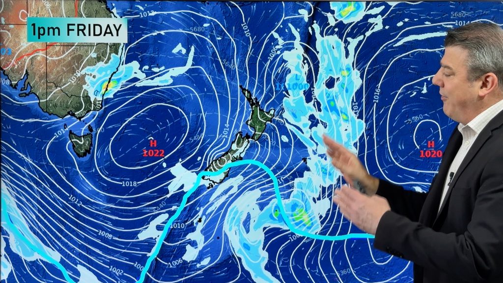
A cold front leading to a cold morning over parts of southeastern Australia is set to deliver snowfalls over the alps.
However, the system appears to have weakened significantly, leading to less snow than originally anticipated.
The original forecast was predicting that 10-20cm of snow would fall during Friday and early Saturday. However, the most recent forecast has reduced the expected snowfall to 5-10cm, with most of it falling above 1500m. Of the major resorts, Mt Buller is still expected to get the most snow.
Snowfall is expected at New South Wales and Victorian resorts from Friday through the night until early Saturday.
Another front should pass through the southeast next week, maintaining the low temperatures and bringing more snow. Similar snowfalls of about 5-10cm each day are expected for alpine regions from Monday through to Thursday.
– Bob Nell, Weatherzone
Comments
Before you add a new comment, take note this story was published on 15 Jul 2017.


Add new comment