> From the WeatherWatch archives
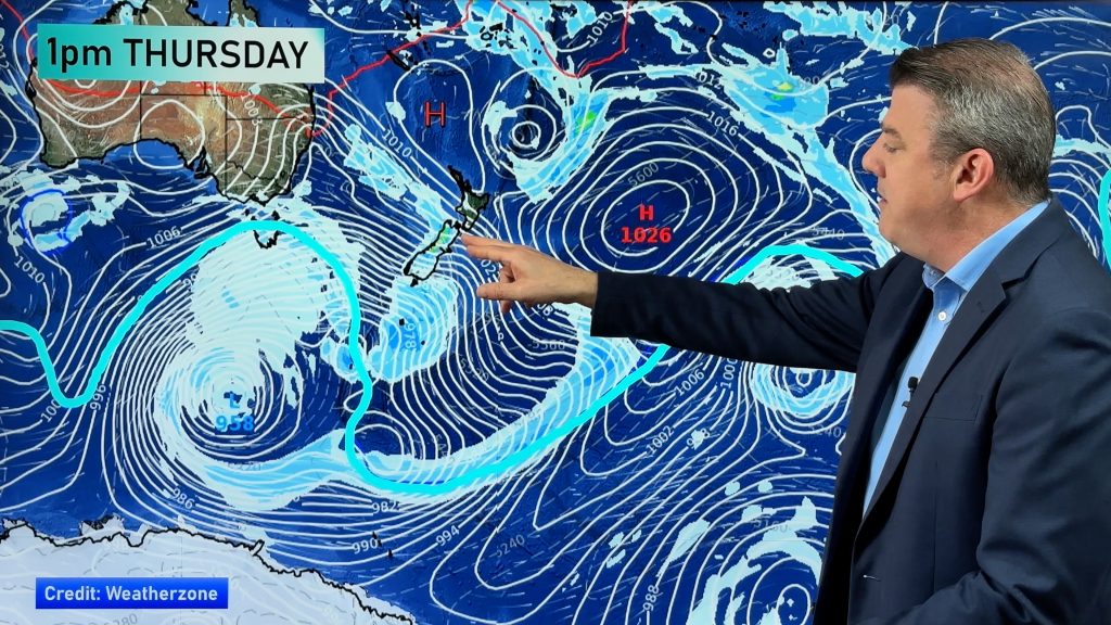
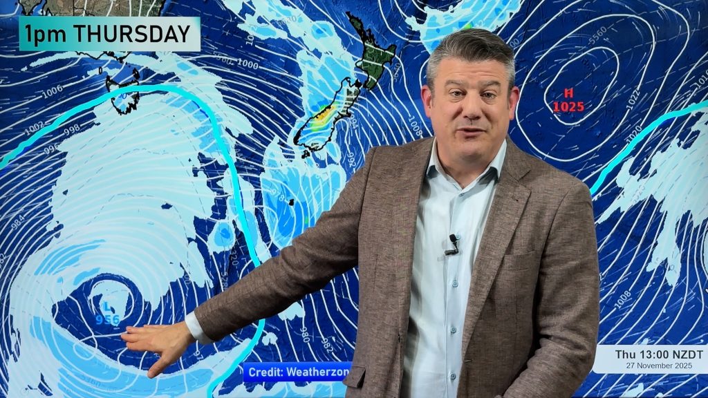
We have extensive coverage from our Weather Watch reporters right across New Zealand as this spring storm heads north. If you have photos or reports – please post a comment below.

You wouldn’t normally associate the above photo with November in New Zealand but this image, taken this morning in Gore by Carmel Crooks from the Radio Network in Southland, shows the Antarctic blast moving in.
Snow flurries are still being reported across Southland with most places still below 6 degrees this afternoon.


Photo: Snow falling in Edendale (eastern Southland, near Gore). Taken by Geoff Heaps / weatherwatch.co.nz
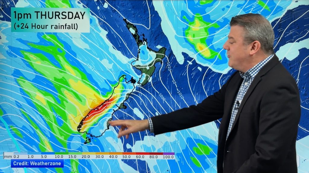
Along the West Coast power was cut for a couple of hours in Greymouth overnight according to our local reporter Katrina Lowe. Gale force winds gusting close to 100km/h blasted the region last night and are still reaching near 90km/h.
In Timaru our Weather Watch reporter Tom McKenzie says a long lasting hail shower covered the ground this afternoon right down to sea level. At 1pm it was just 4 degrees in Timaru with a wind chill well below zero.
Gale force winds are blasting the South Island with gusts around 70 to 90km/h in most regions.
Further north and fire fighters in Blenheim say strong winds contributed to a car going off the road and into a ditch. Local Weather Watch reporter Anna Richards says arching powerlines caught fire in 2 Blenheim streets overnight. While winds have eased there they are still gusting over 70km/h.
But the storm is now moving into the North Island. Head weather analyst Philip Duncan says it’s still relatively warm but that’s about to change. “The strong west to north west winds are still quite mild, gusting up to 80km/h in a number of areas and hovering around gale force in Auckland”. Mr Duncan says the winds have already pushed temperatures up into the low 20s across Hawkes Bay and it’s still 16 in Wellington.
“The southerly is close to moving into Wellington and overnight will affect most North Island centres. Snow flurries are also possible on the Desert Road”.
Mr Duncan says according to Southland locals it’s been at least 20 to 30 years since snow like this fell to sea level. “Snow falls happen every few years in November but very rarely to sea level”.


Snow in Southland this morning – taken by Carmel Crooks, Radio Network Invercargill.
What’s it like where you are? Send us photos/comments.
Comments
Before you add a new comment, take note this story was published on 5 Nov 2008.


Add new comment